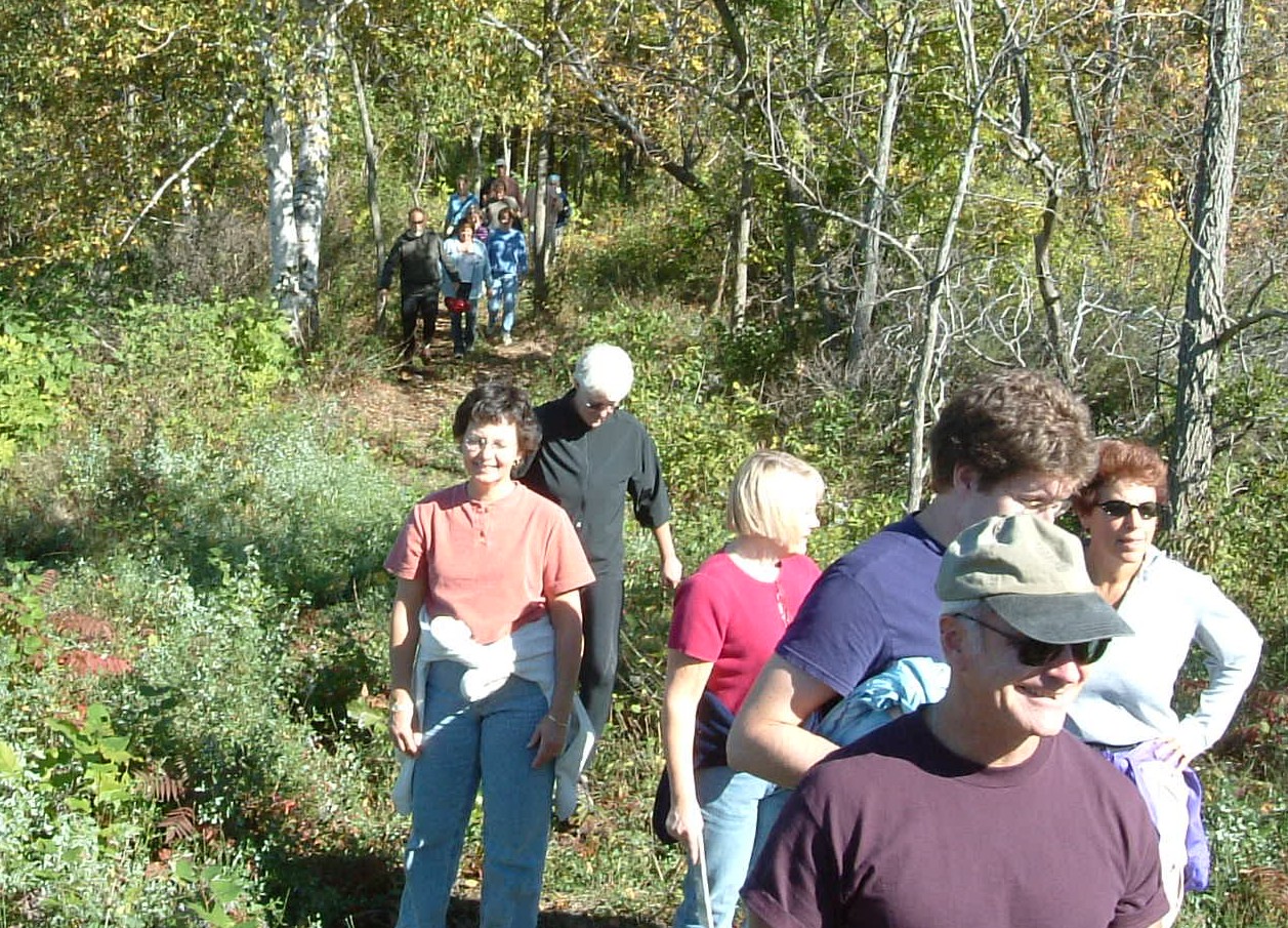
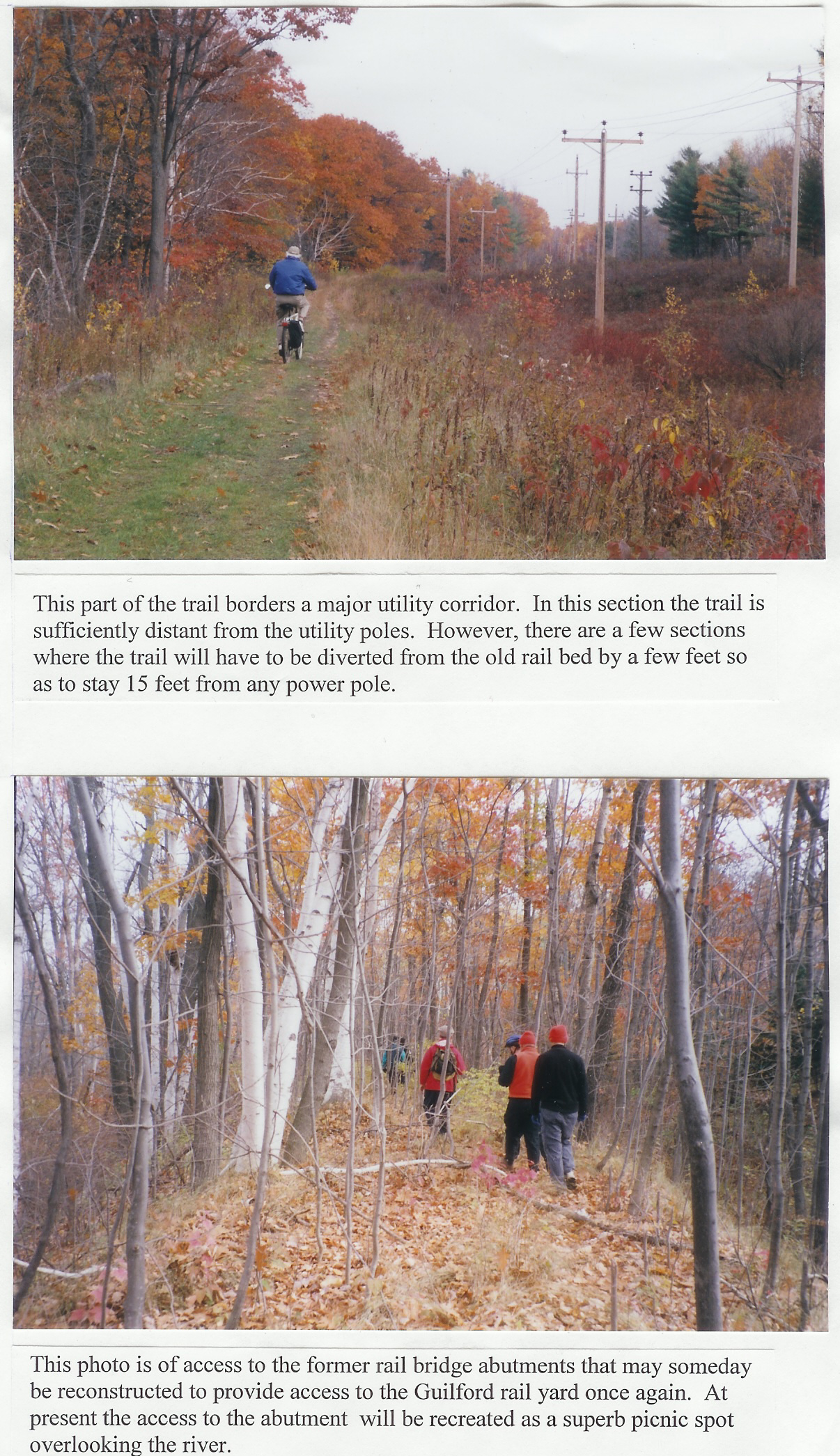
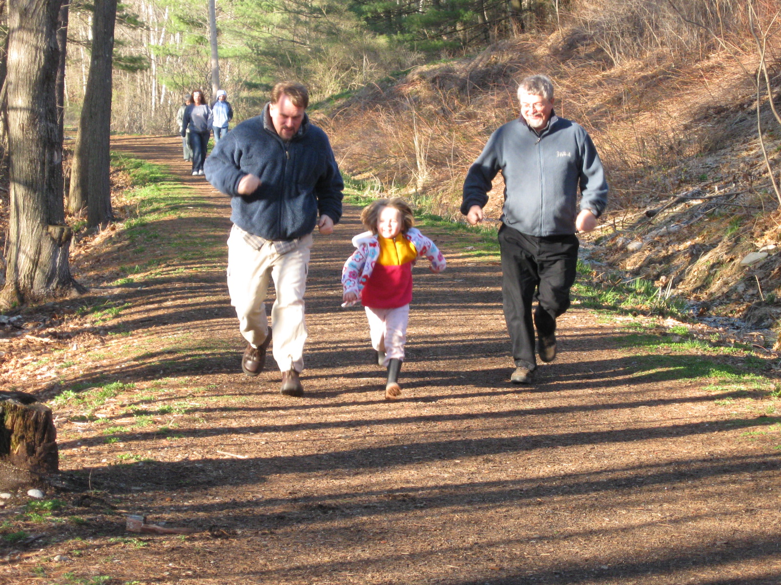
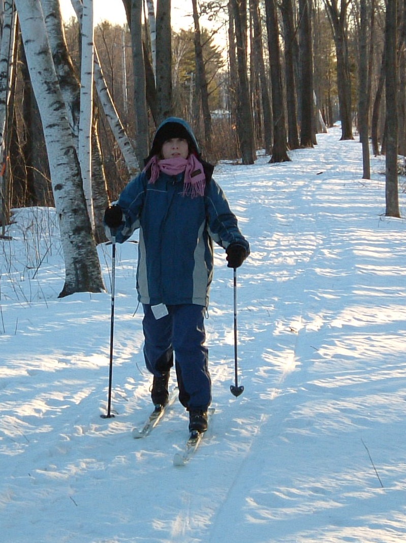
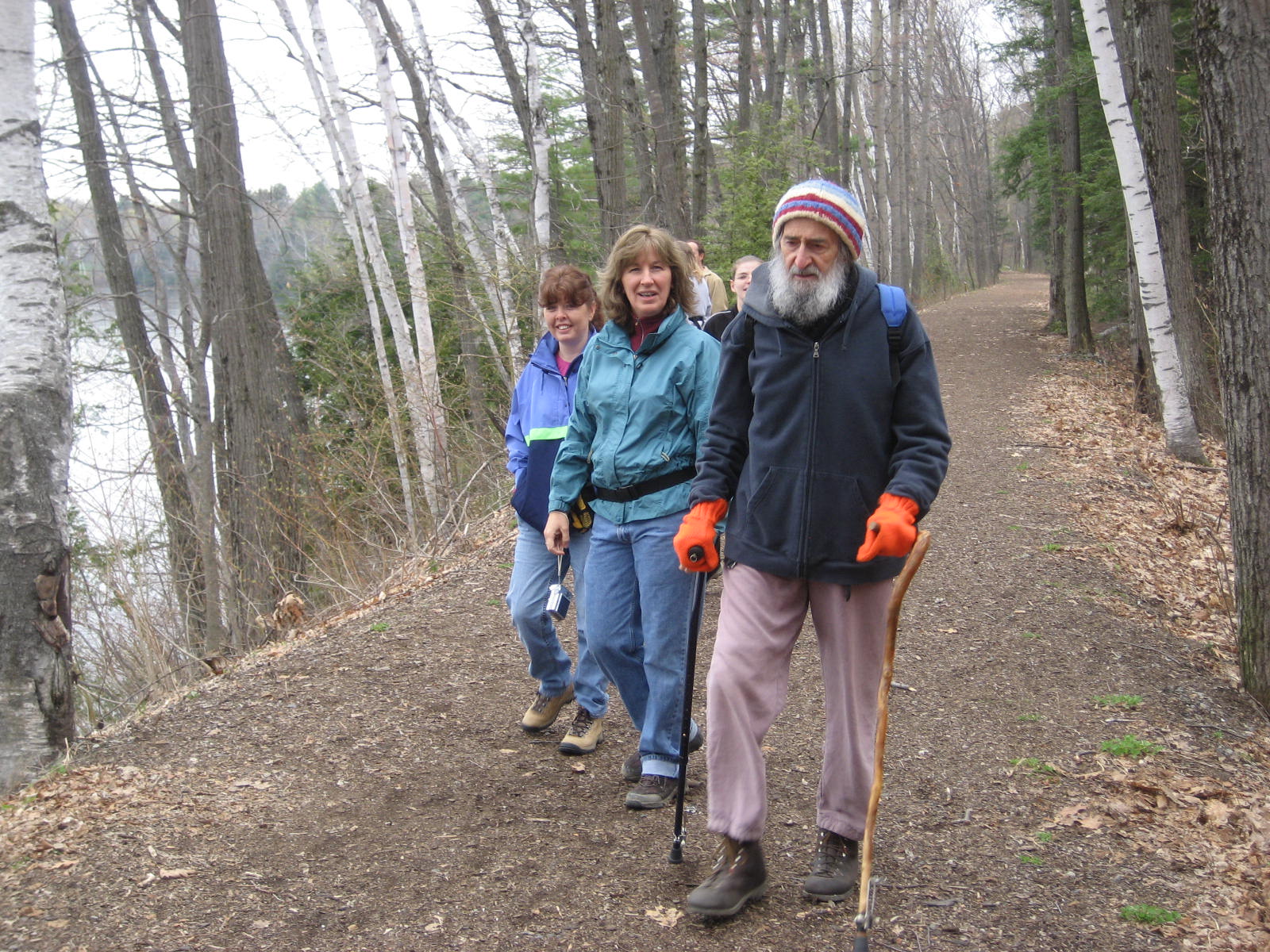
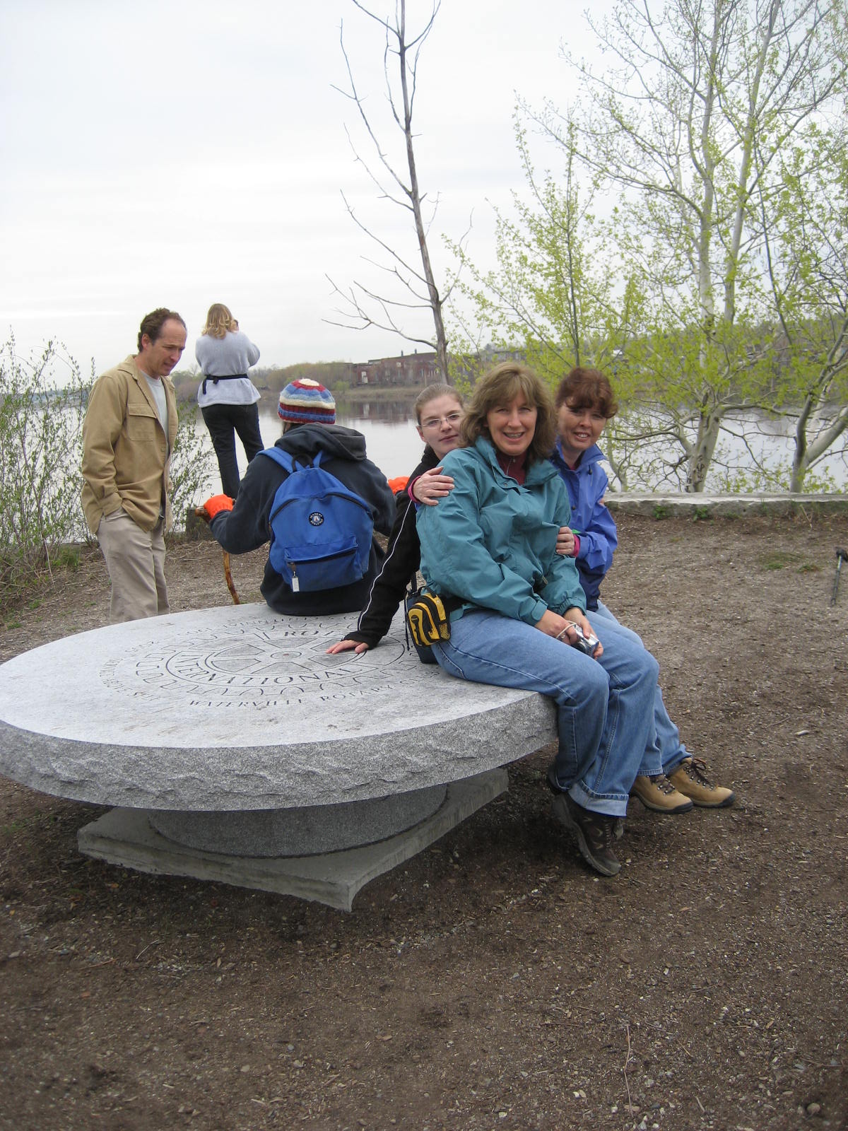
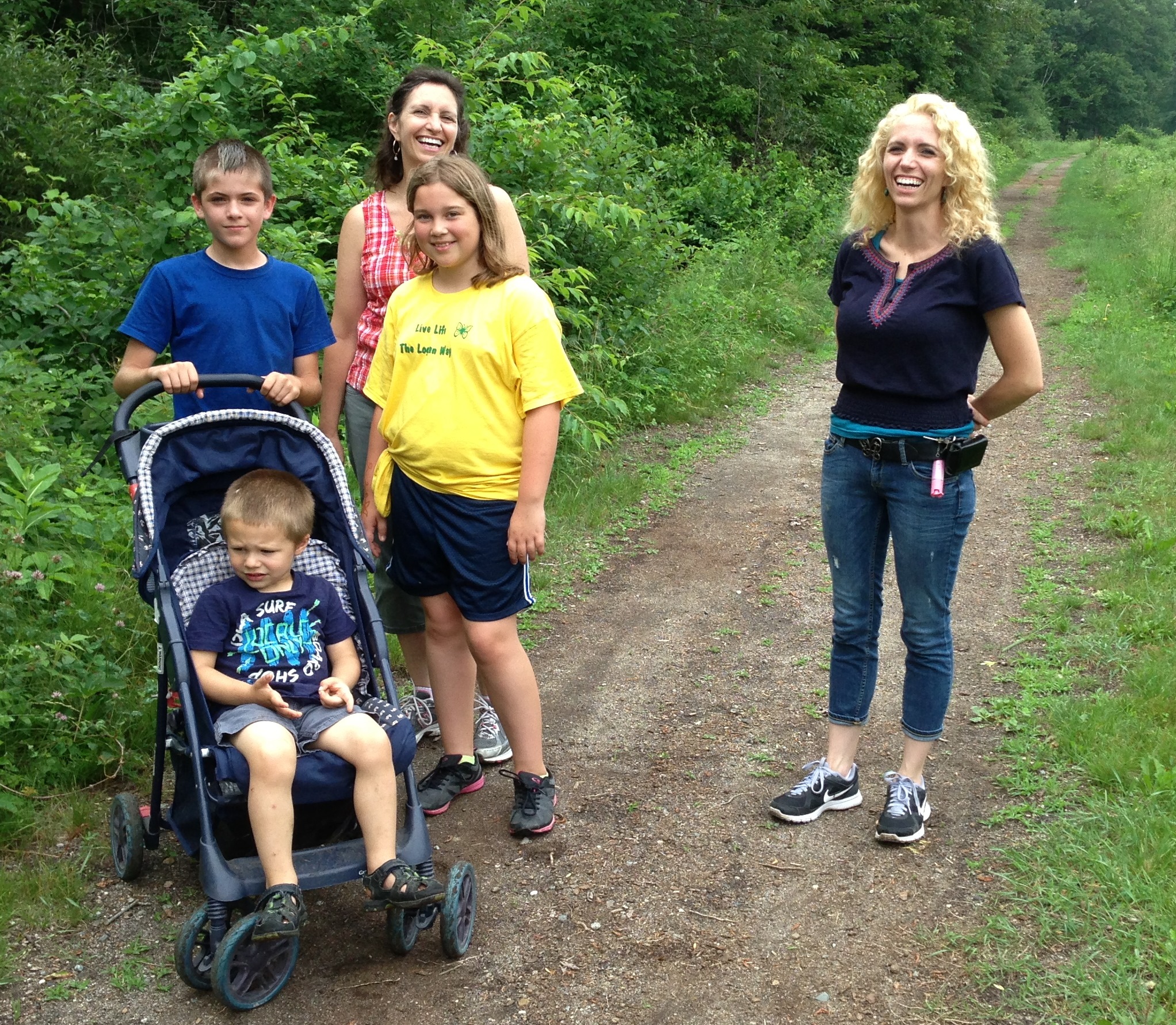
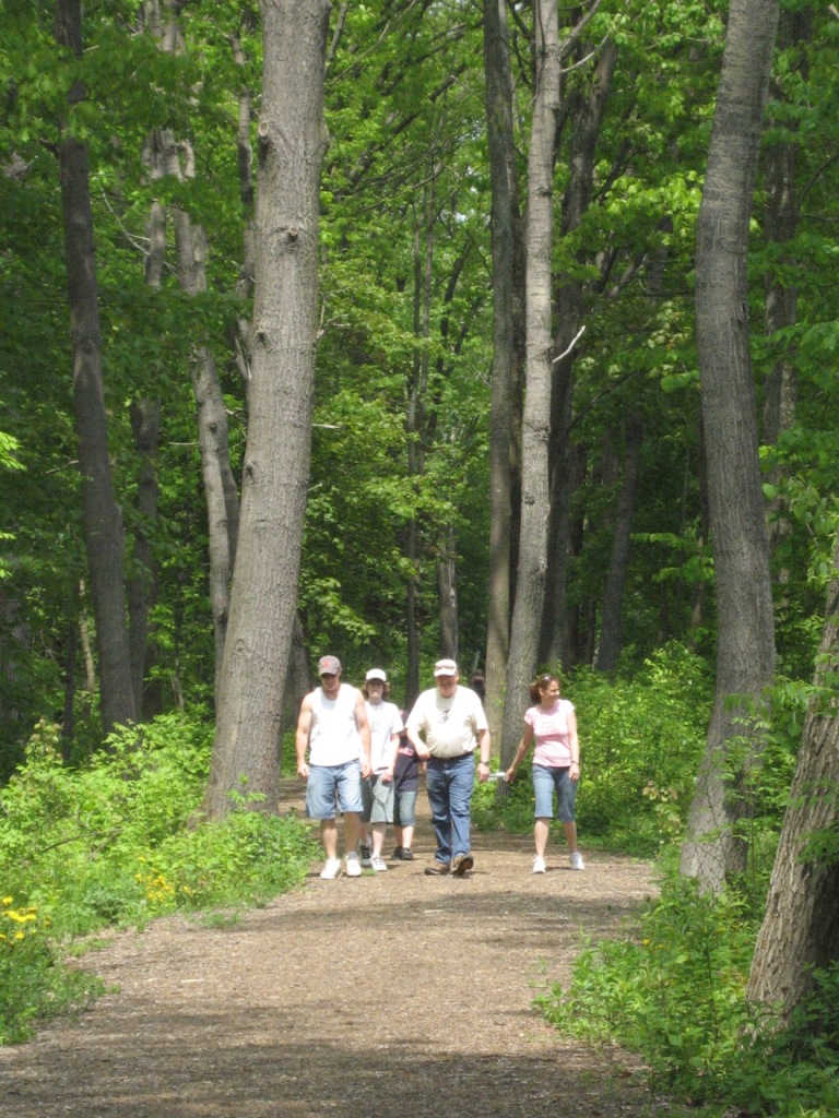
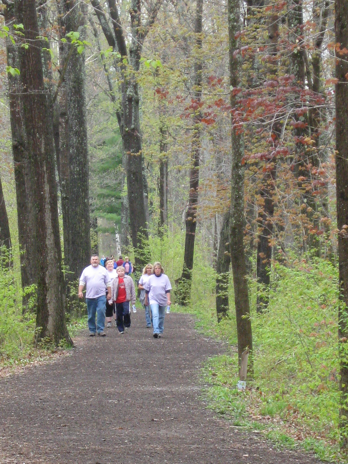
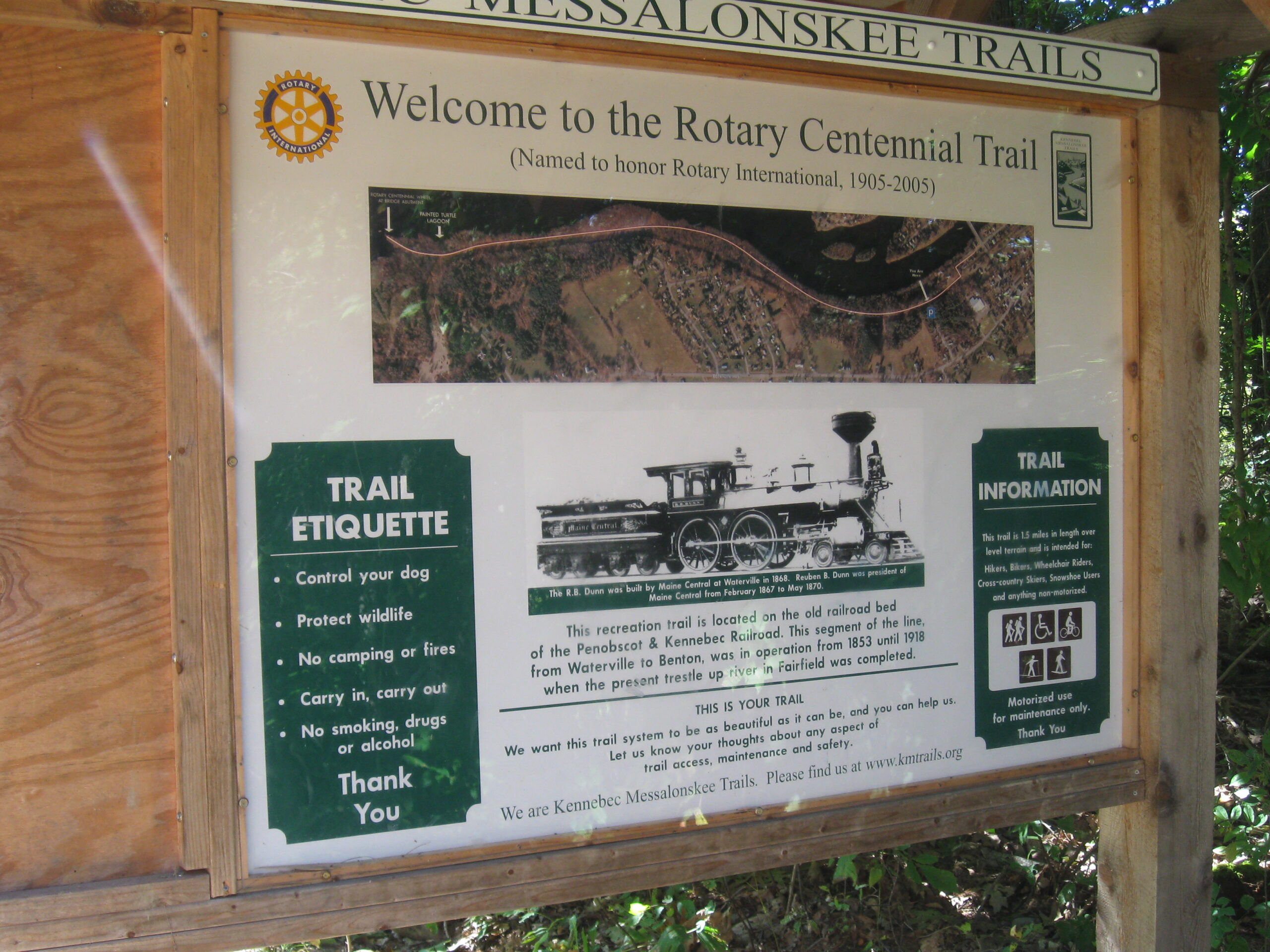
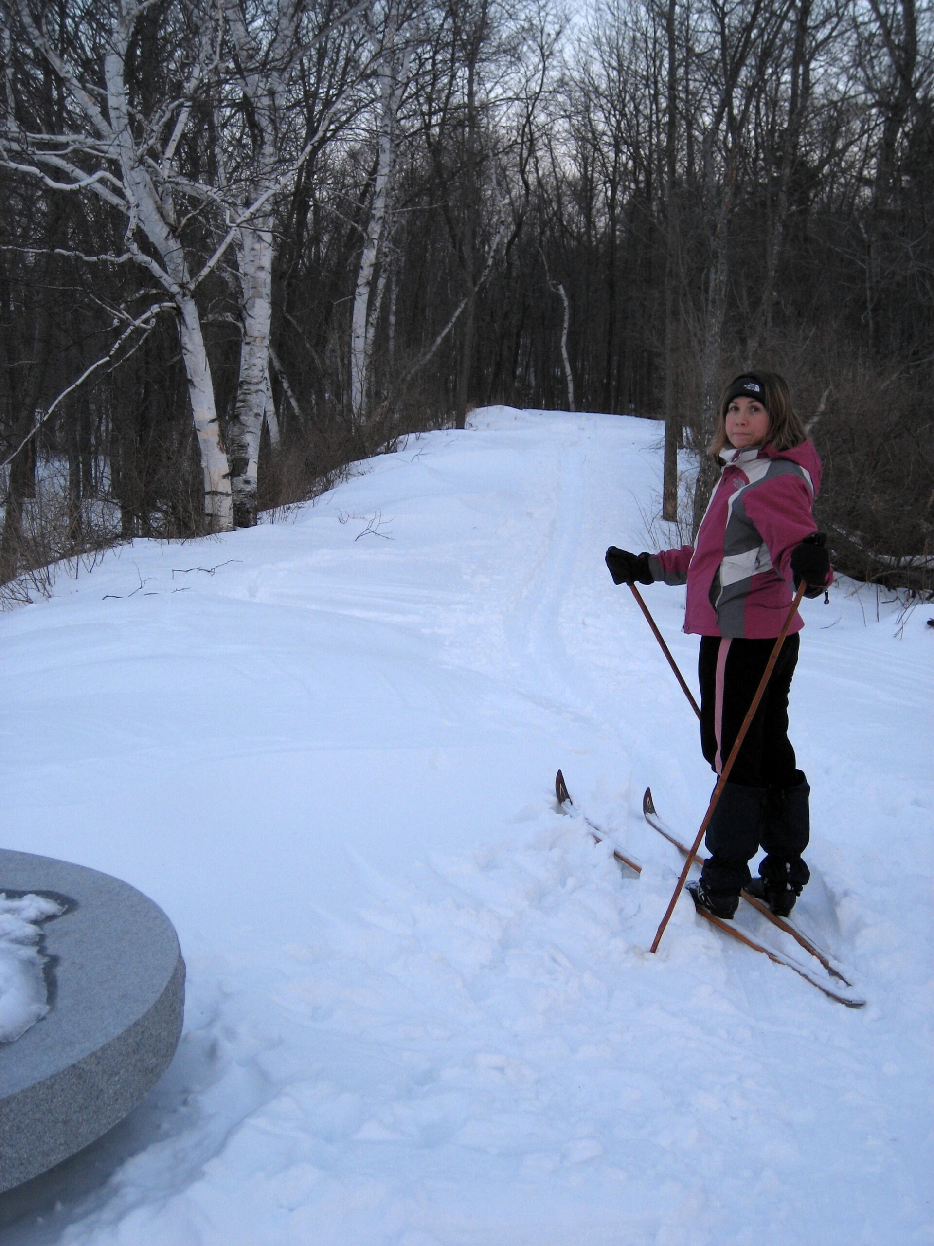
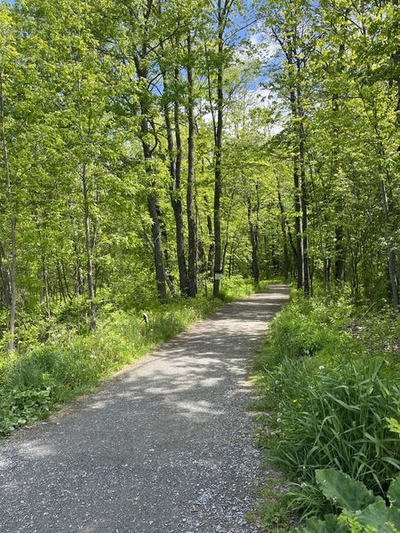
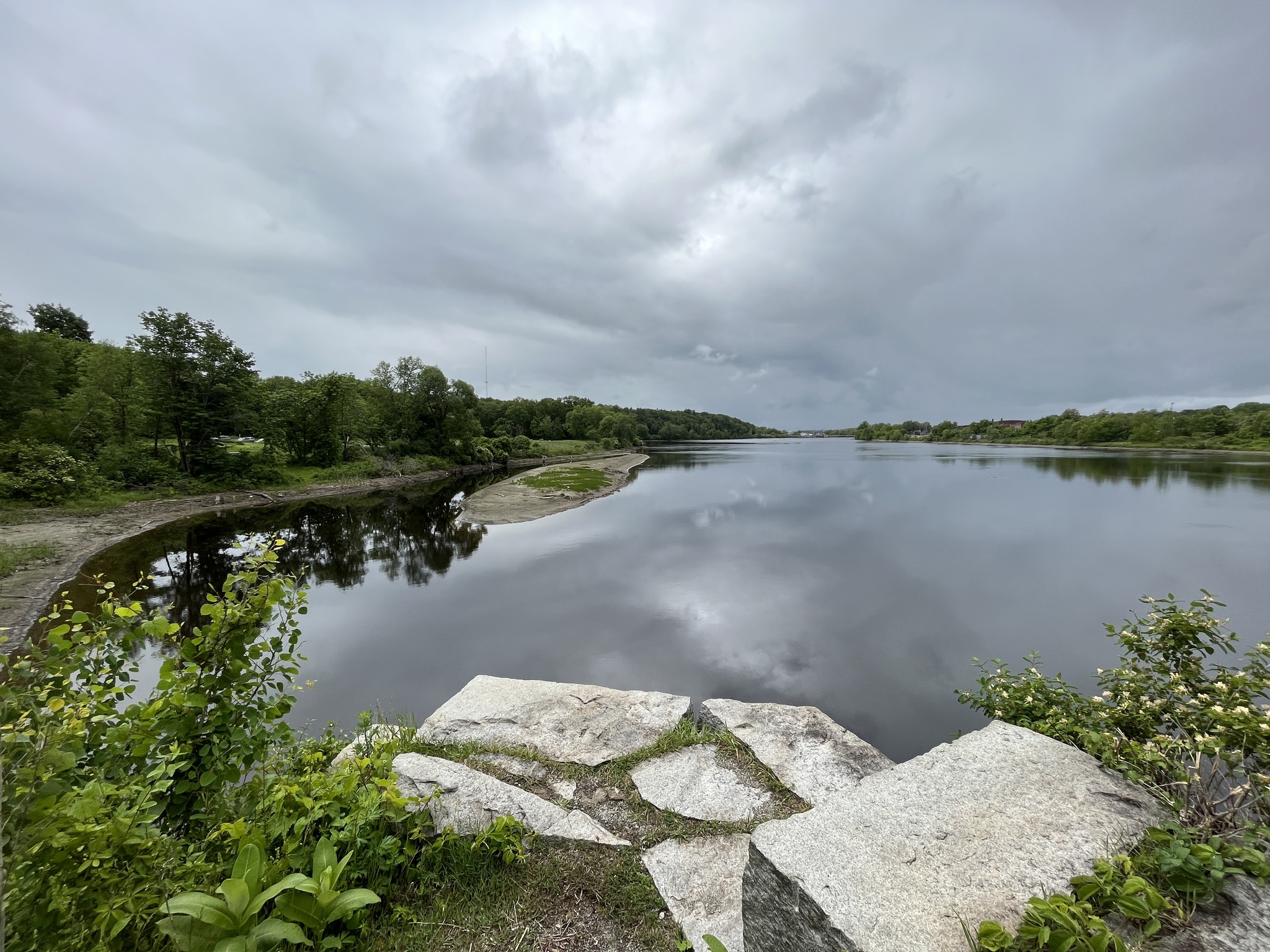
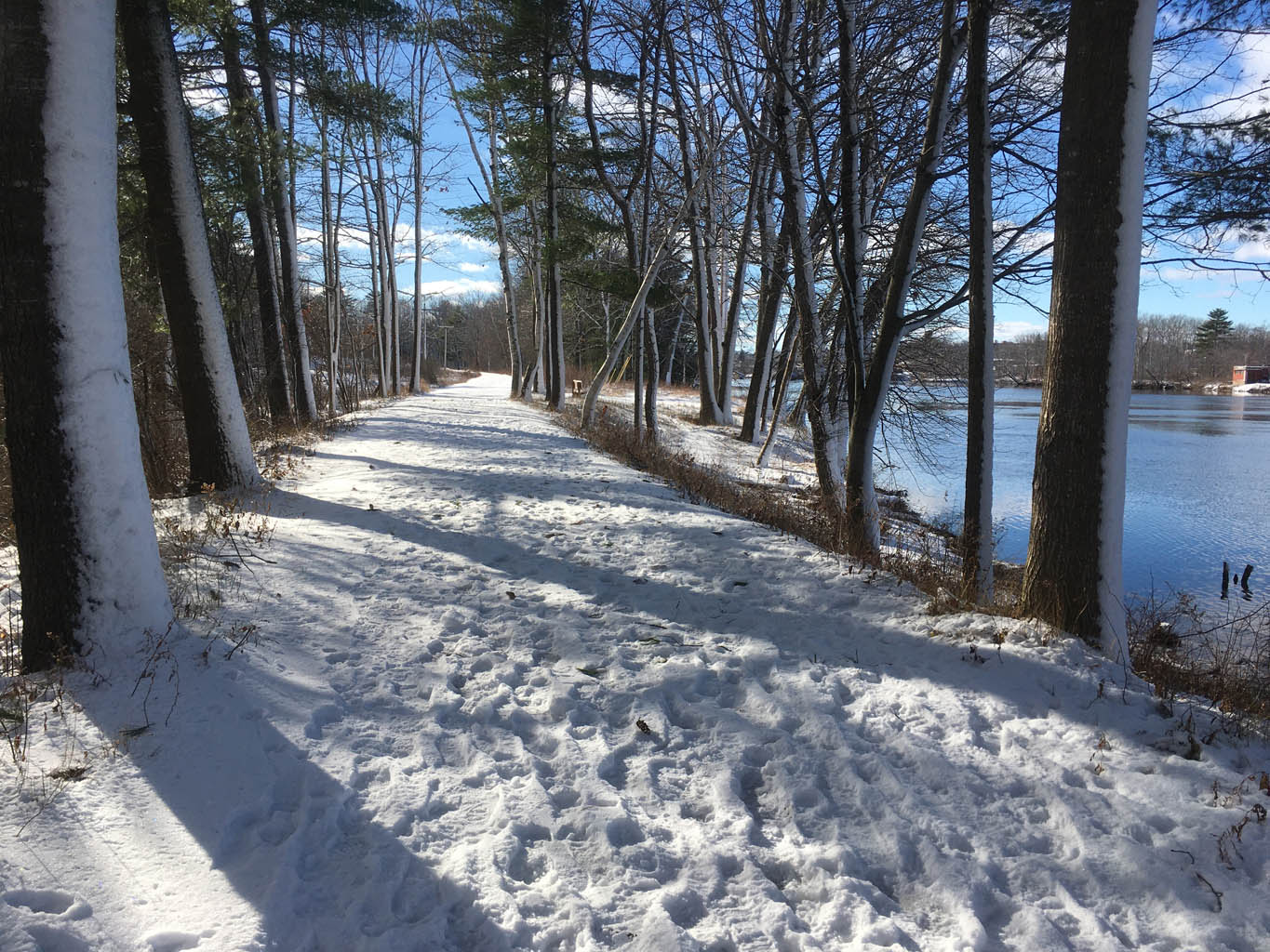
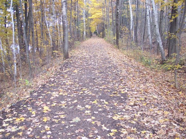
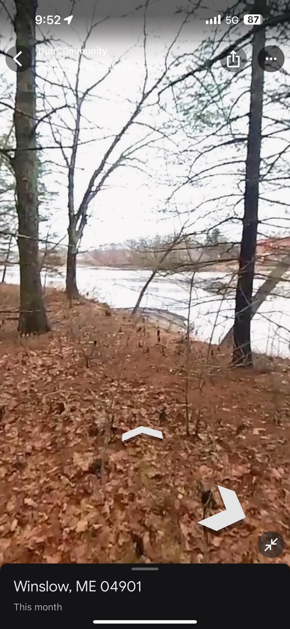
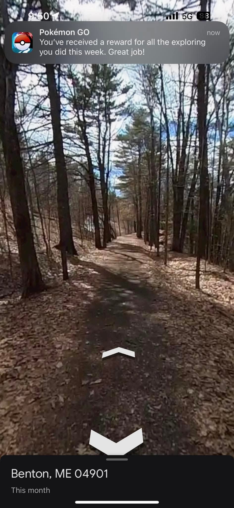
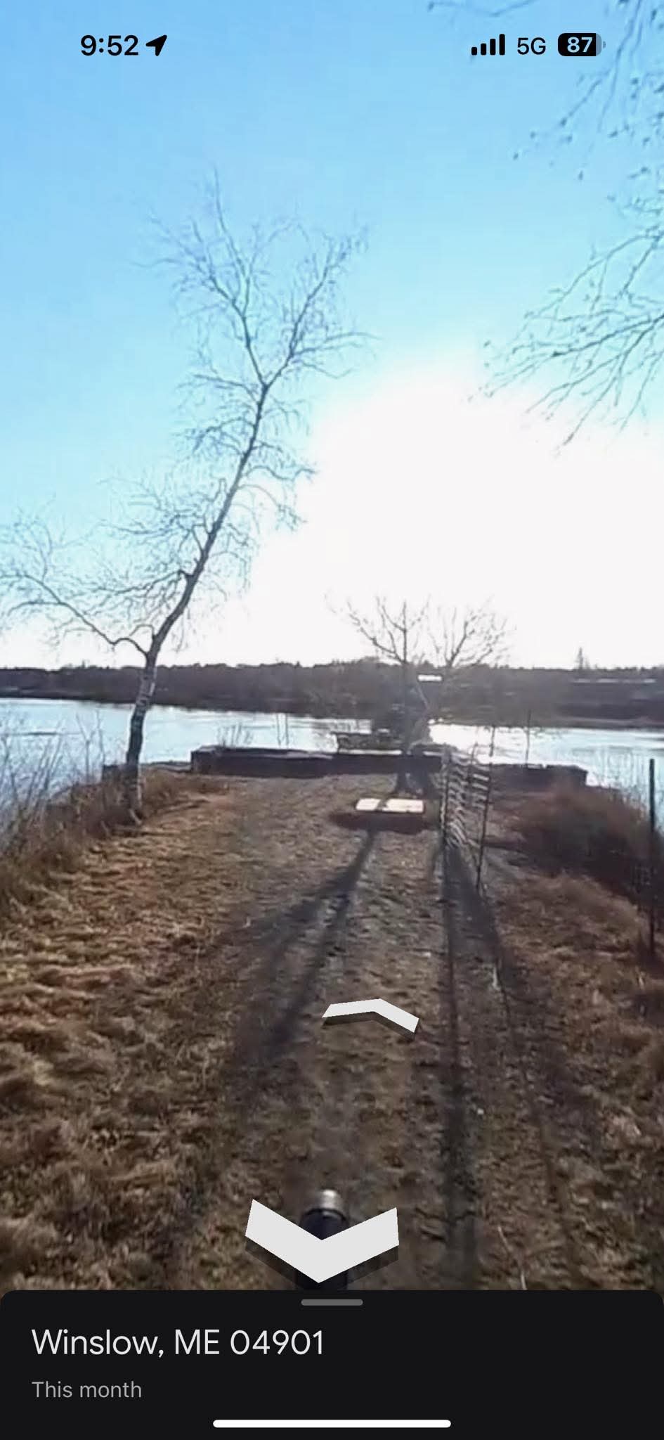
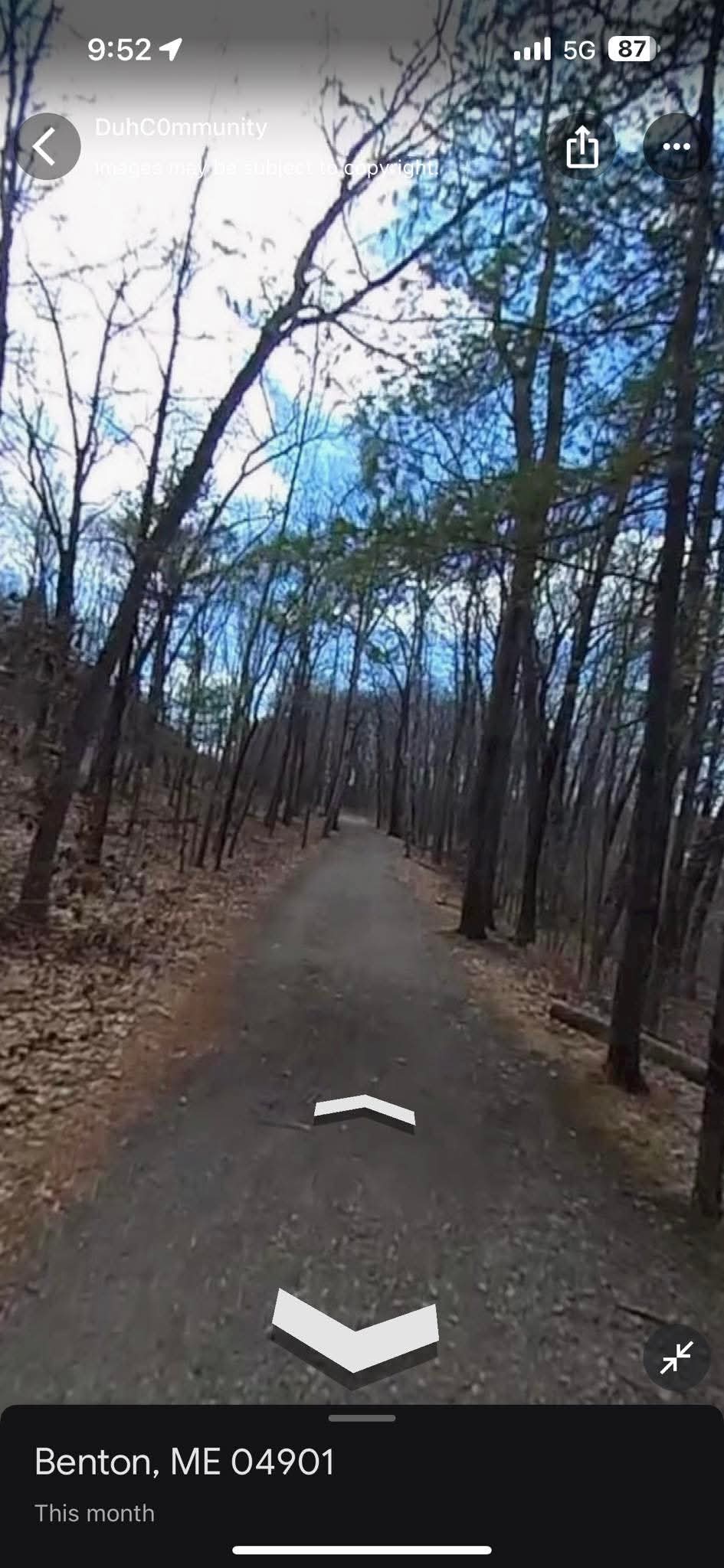
This trail was constructed along an old rail bed, so it is very level and wide, with a packed gravel surface. It leads through beautiful hardwoods with occasional views of the river. The trail starts with steps up from Crummett Street and ends at a former rail bridge abutment that extends out into the Kennebec River, providing a scenic resting spot for a picnic.
Getting There
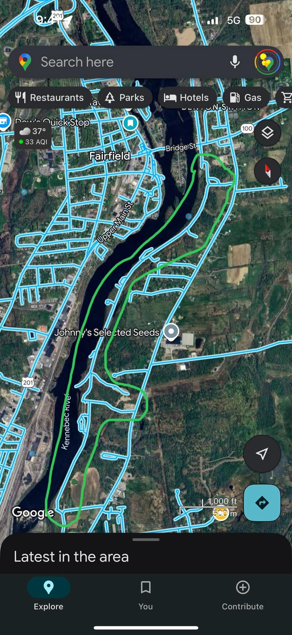
At Mill Island Park or Fairfield downtown parking, then walk or drive across the Route 139 bridge. There are two parking spots for the trail, both marked by a TRAIL sign at the nearest main road.
North Entrance: Park at the parking lot just after the Rt. 139 bridge on Crummet Street. Walk to the end of Crummet Street and go up the stairs.
South Entrance: Use the entrance and parking for the Peter Garrett Trail, which is accessible in Winslow on Benton Avenue, watching for the TRAIL sign at 752 Benton Ave, next to a Central Maine Power pole yard, then follow the dirt road in and park next to the river.
Details
Trail Length:
2.8 miles
Trail Type:
Out & back
Difficulty:
Easy
Parking:
Dirt
Features:
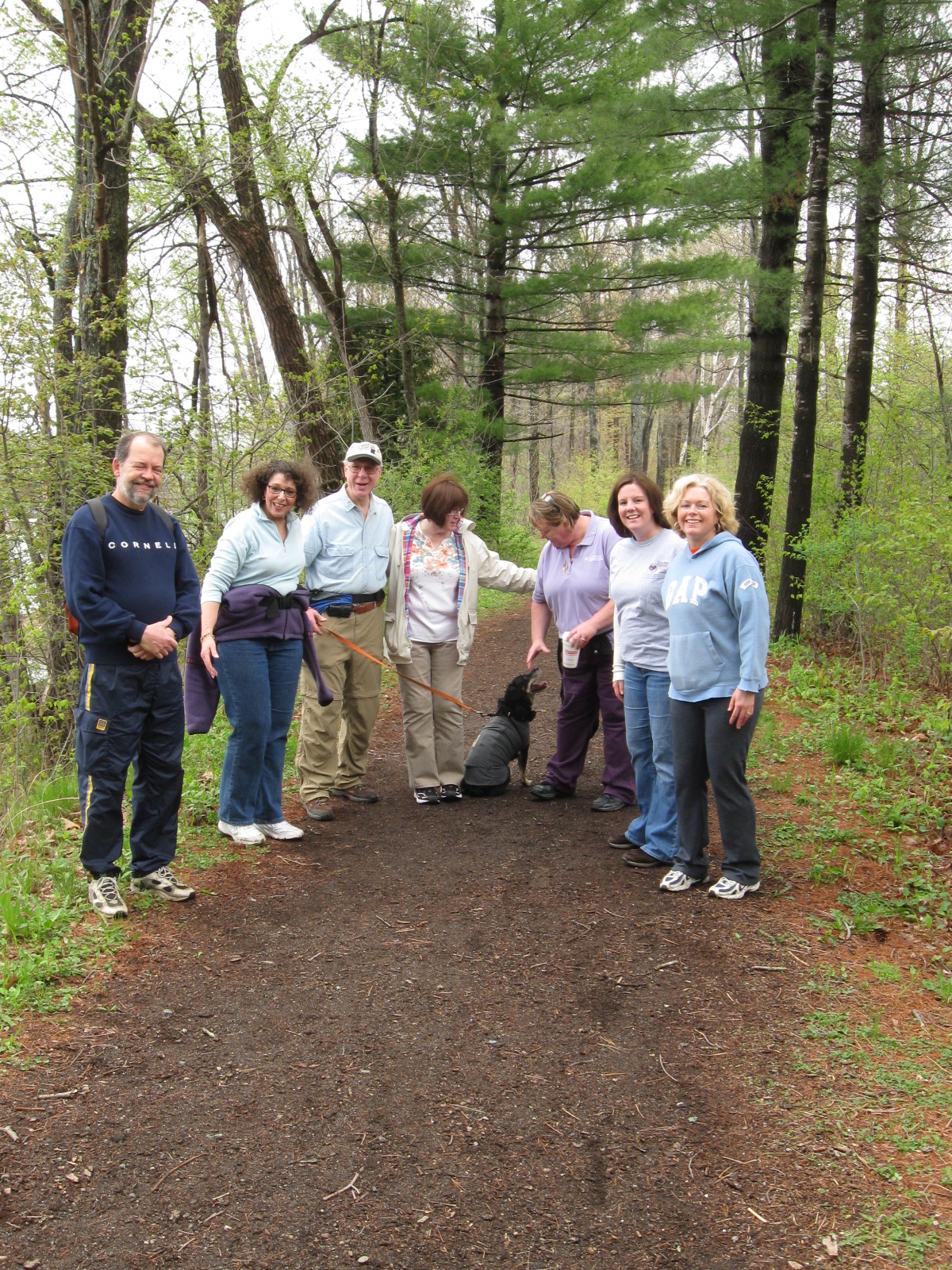
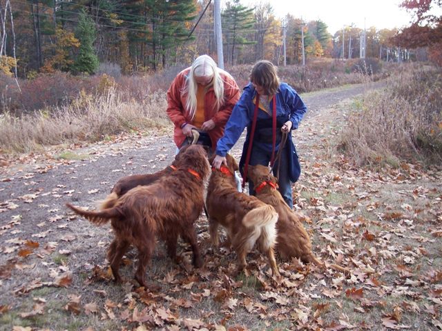
Dog friendly Kid friendly Wheelchair accessible Stroller friendly
Views:
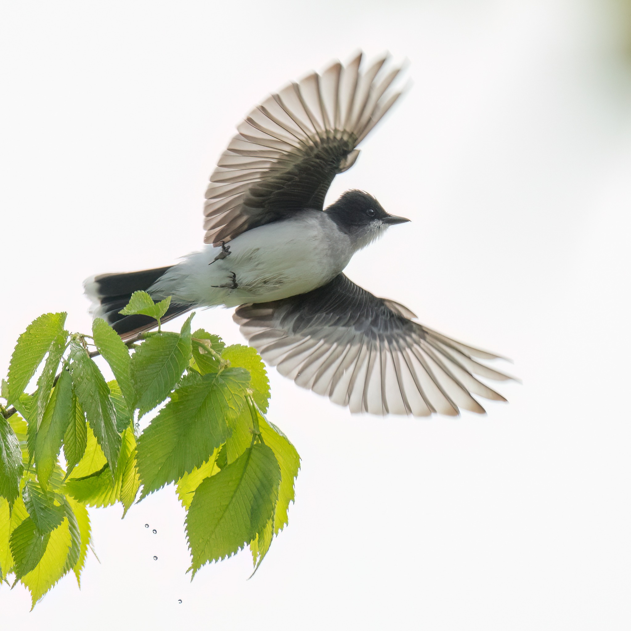
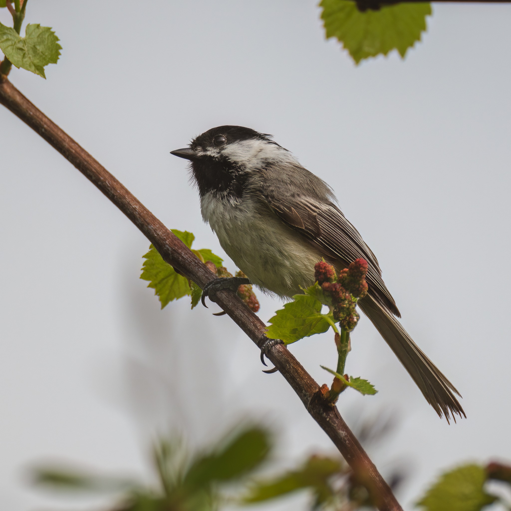
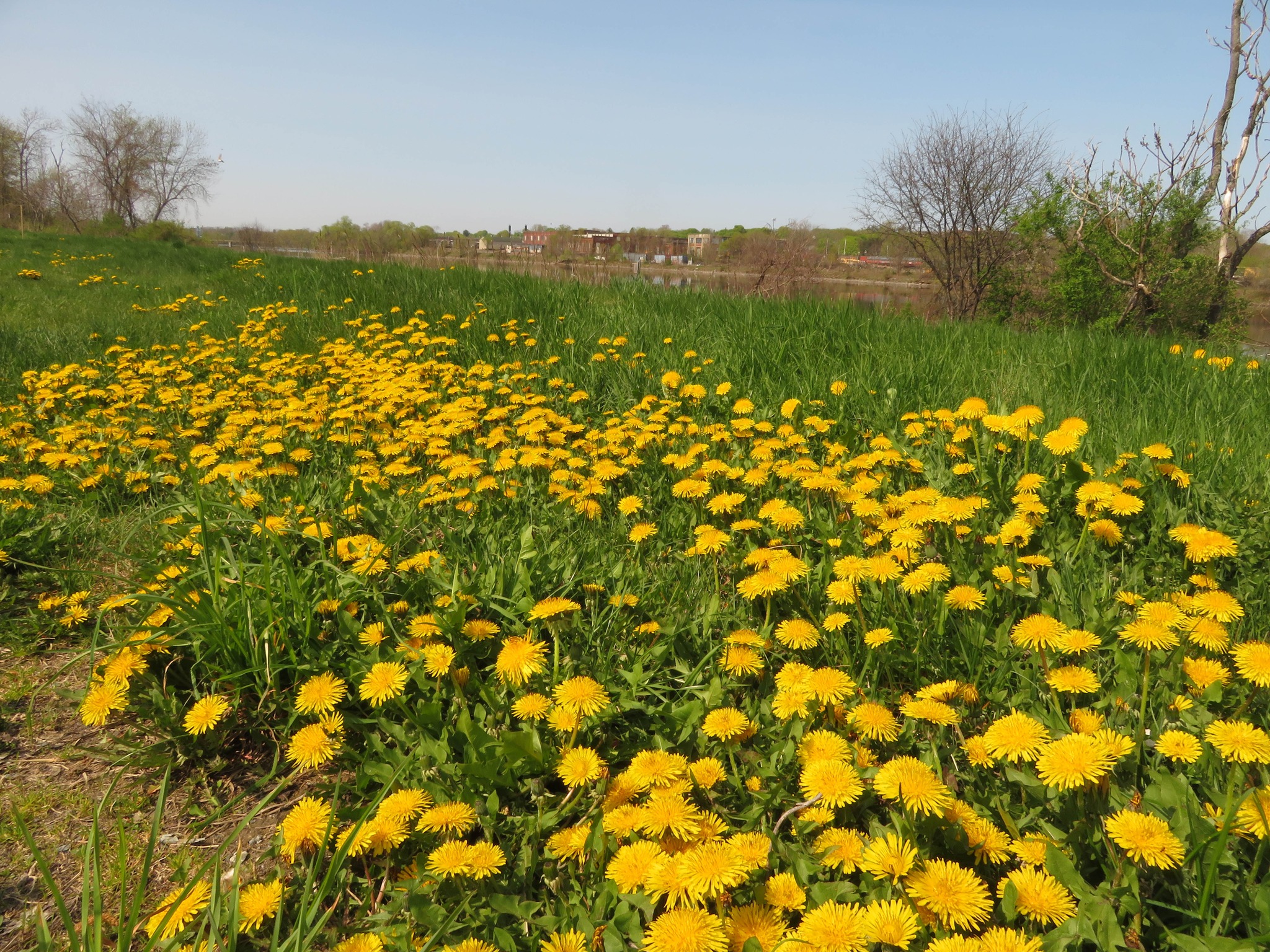
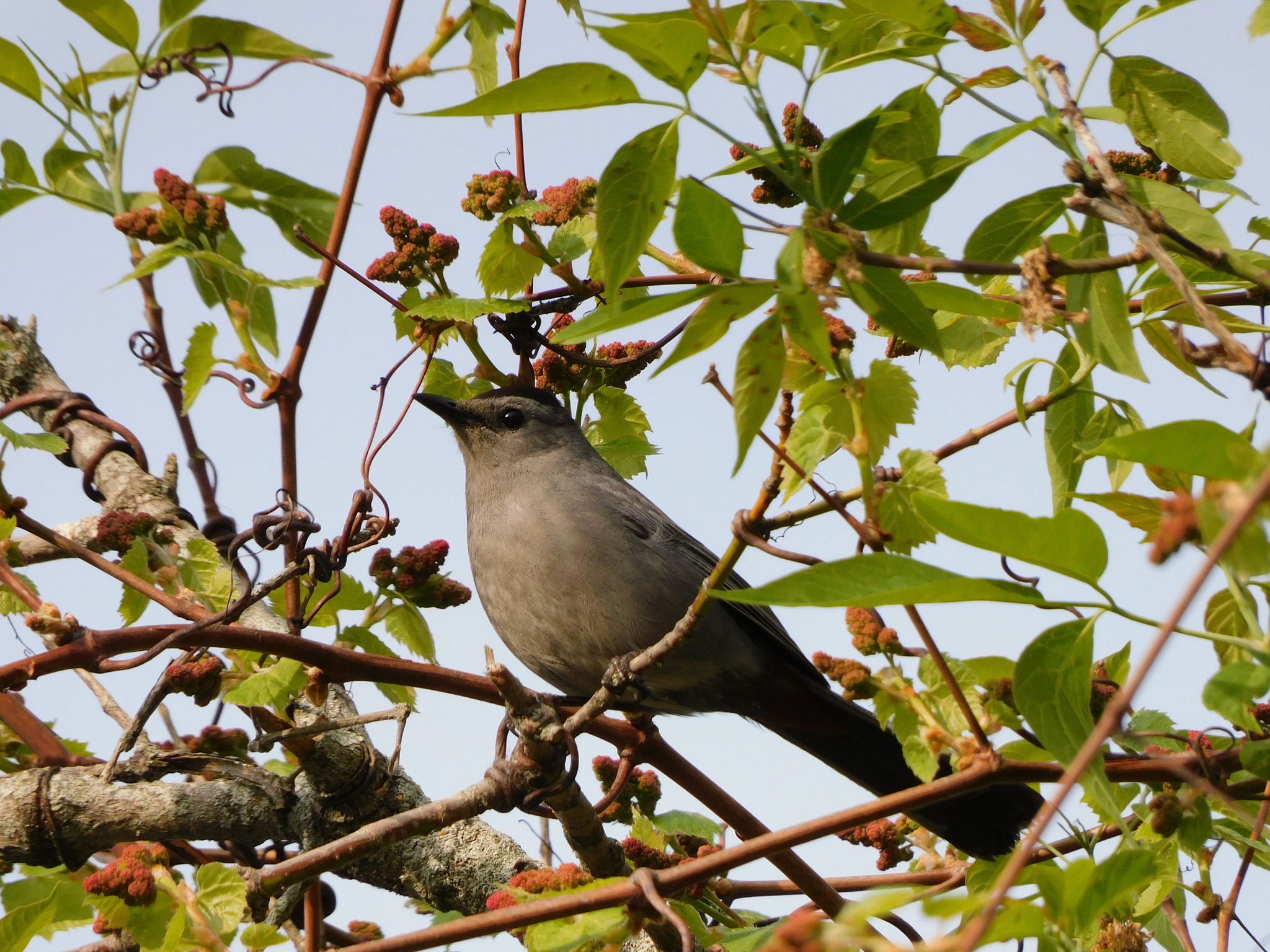
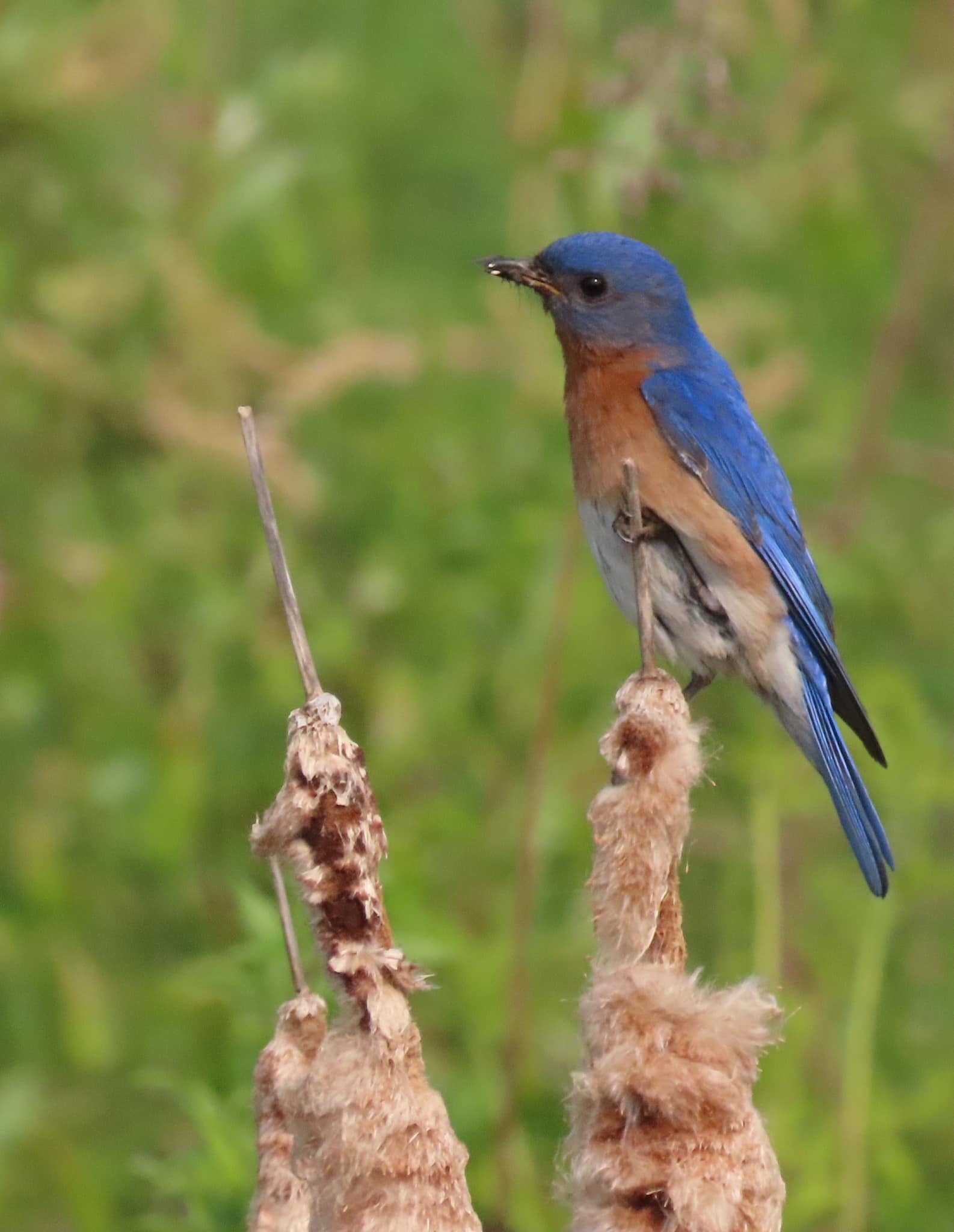
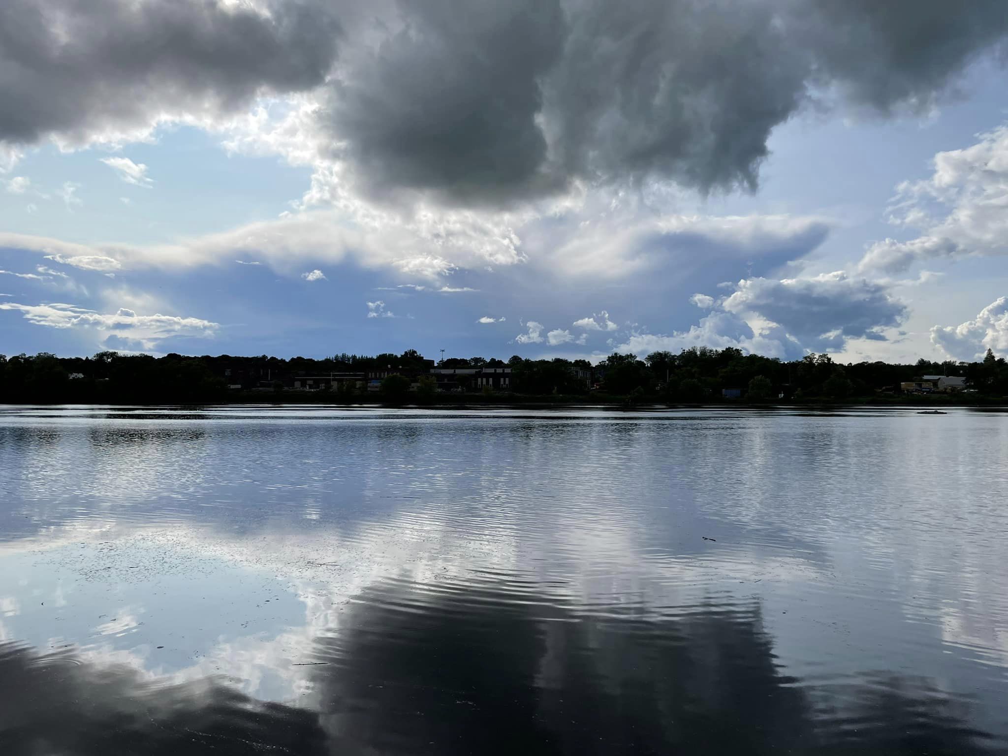
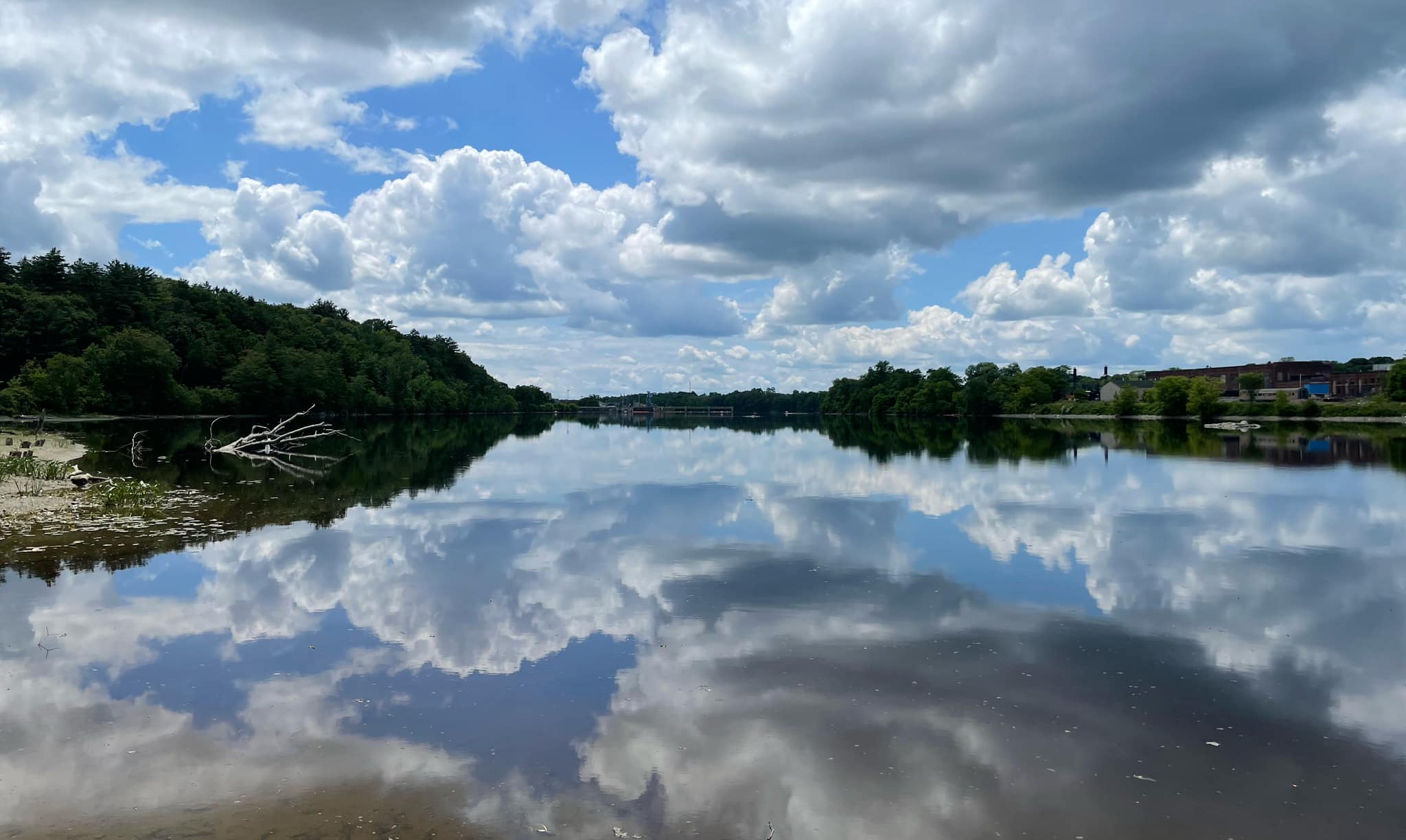
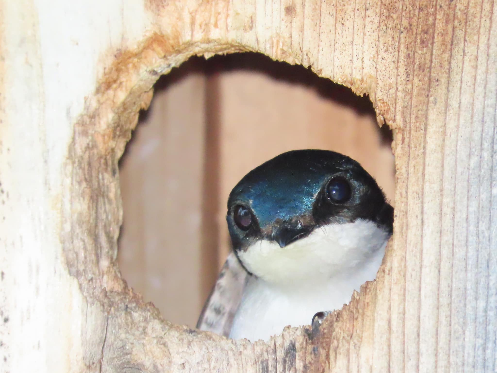
Pond River Wooded Wildflowers Wildlife
Tip:
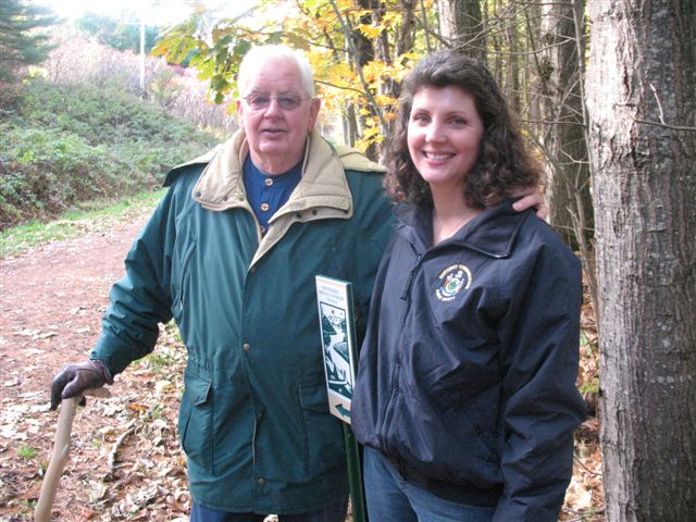
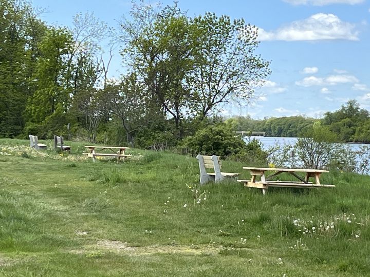
There are multiple benches and picnic tables off the parking lot from the South Entrance, off Benton Avenue, along the river for public use. These were funded by Kennebec Messalonskee Trails in partnership with the Waterville Rotary Club.