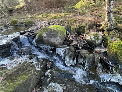
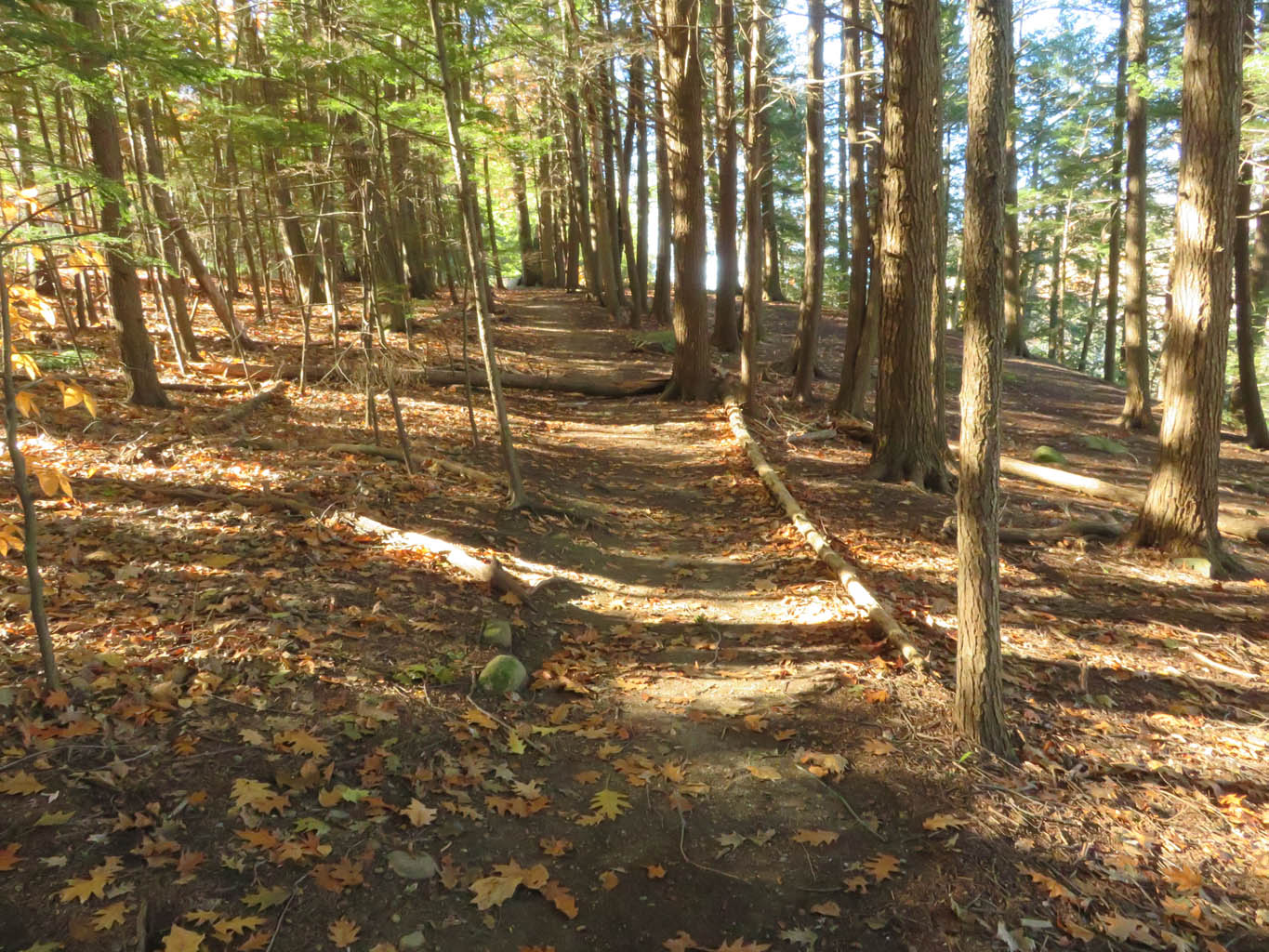
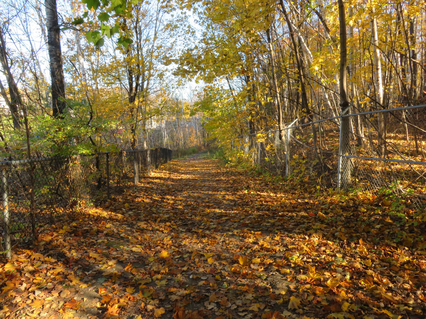
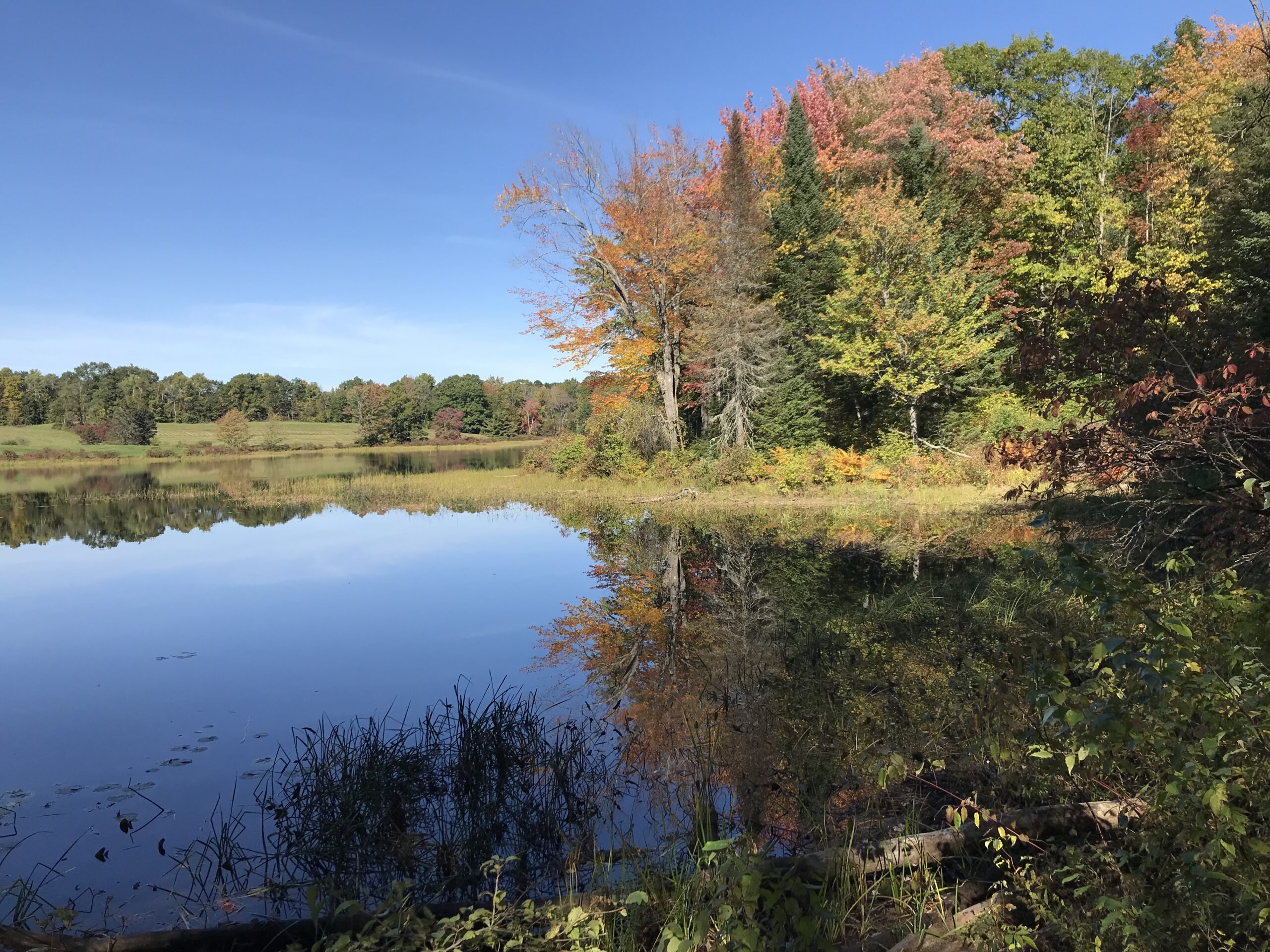
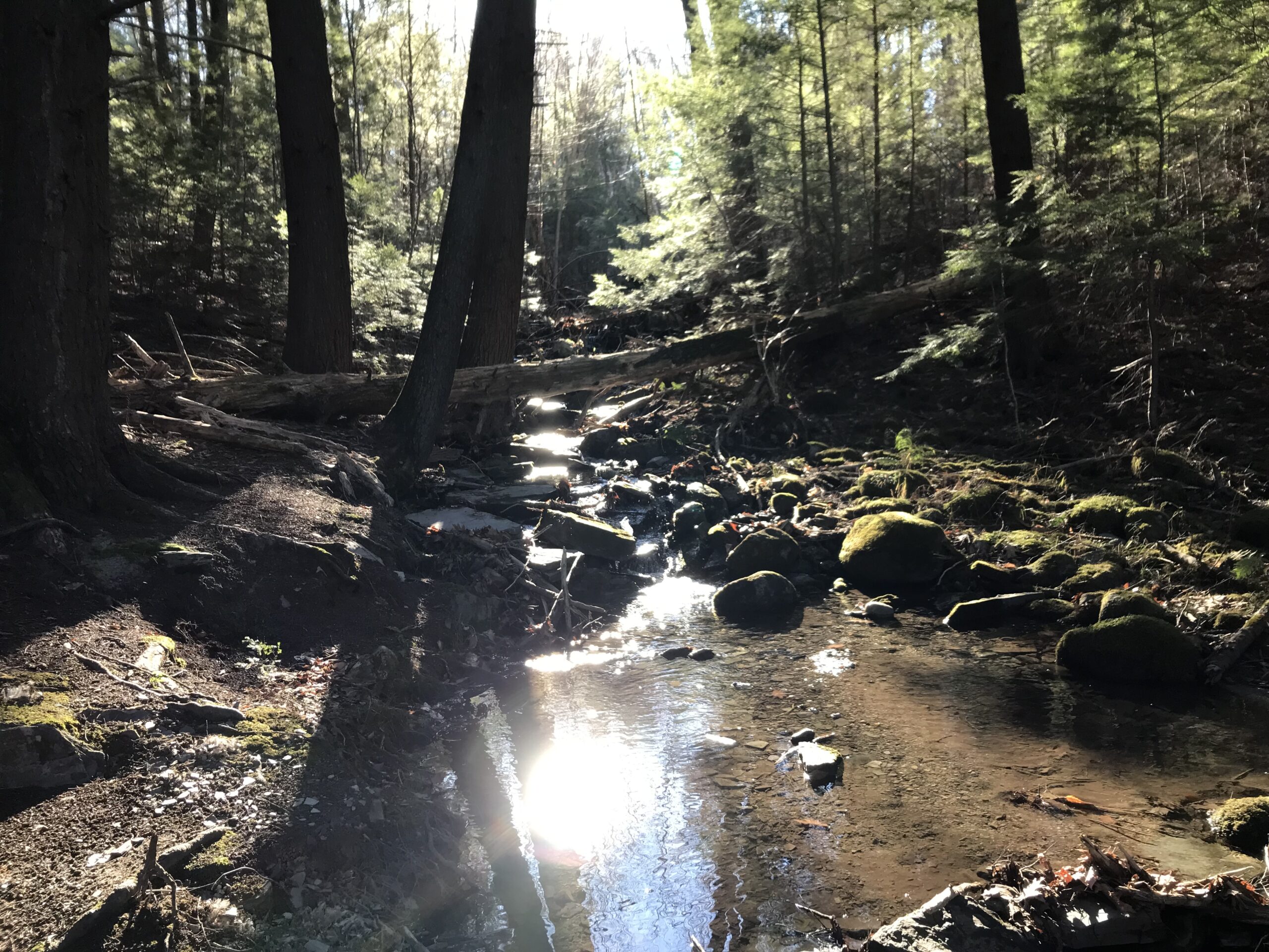
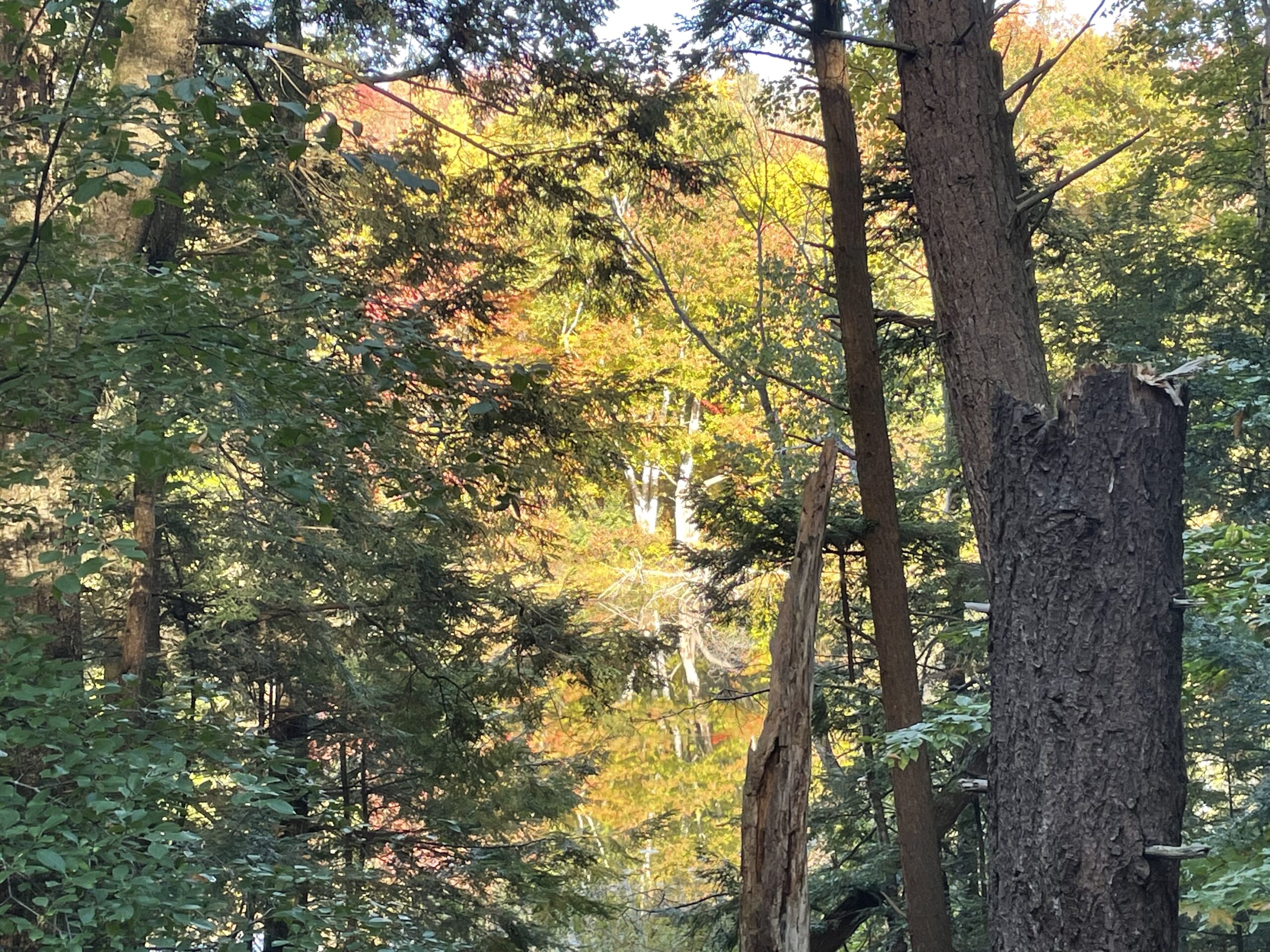
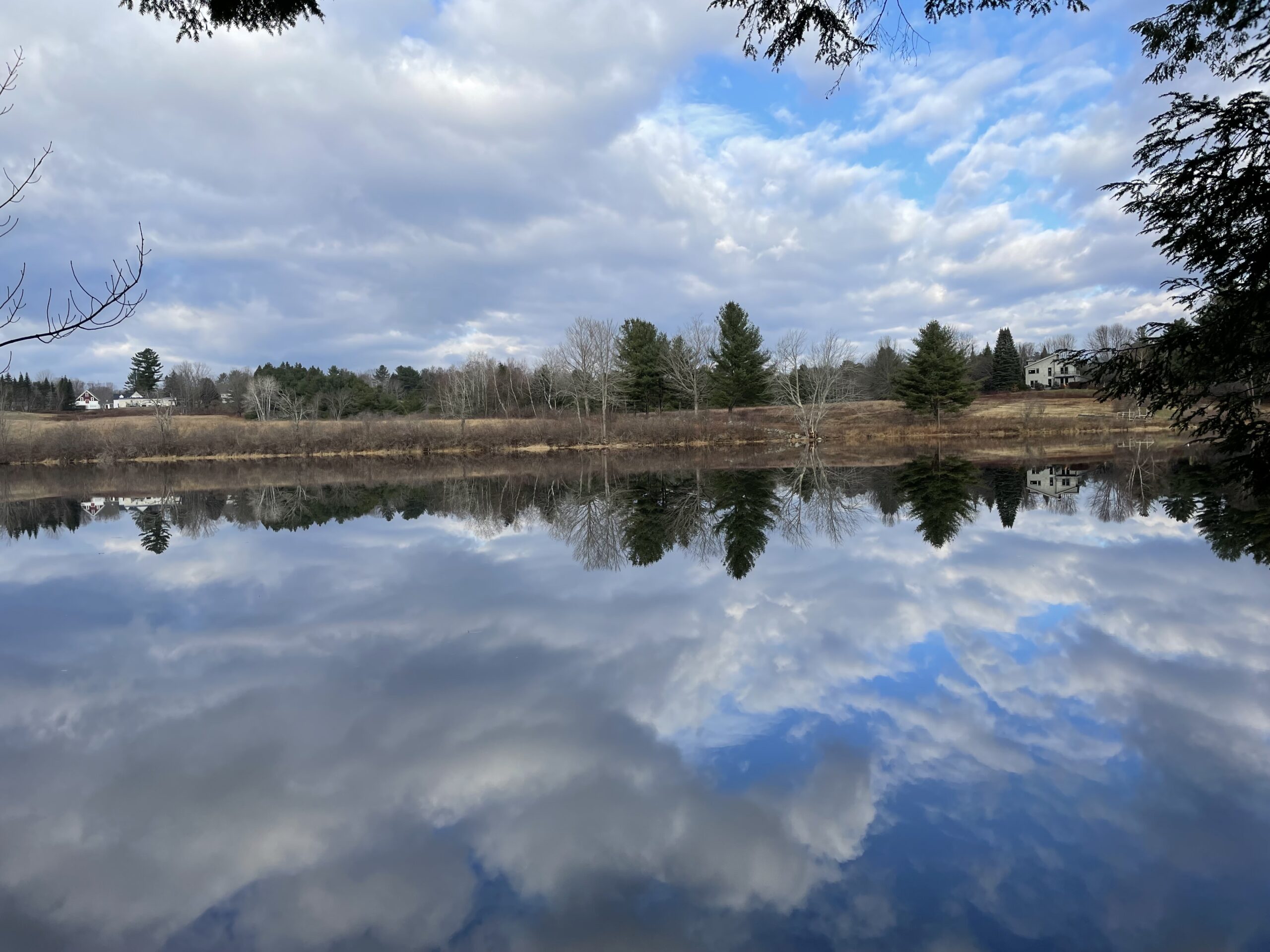
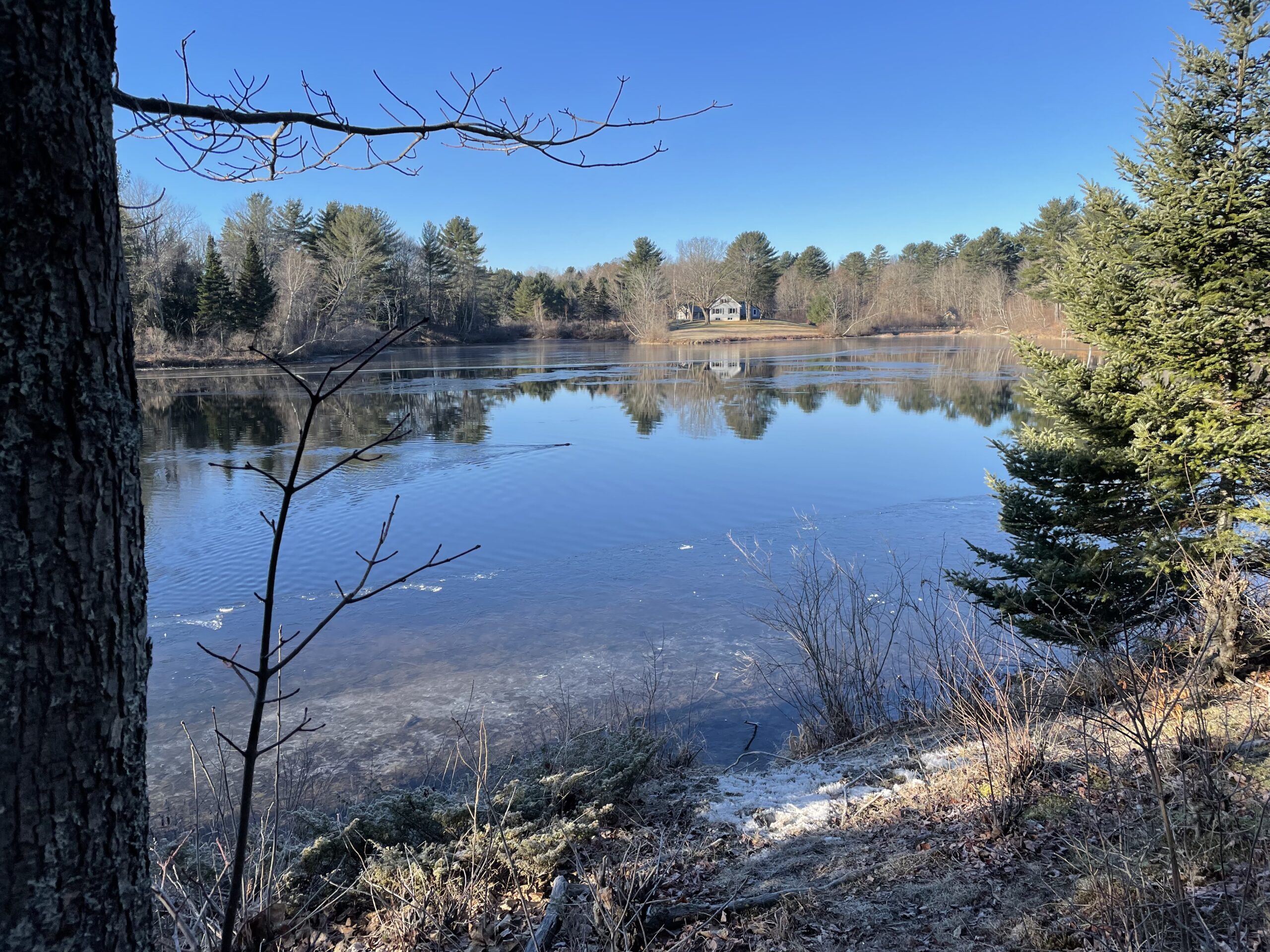
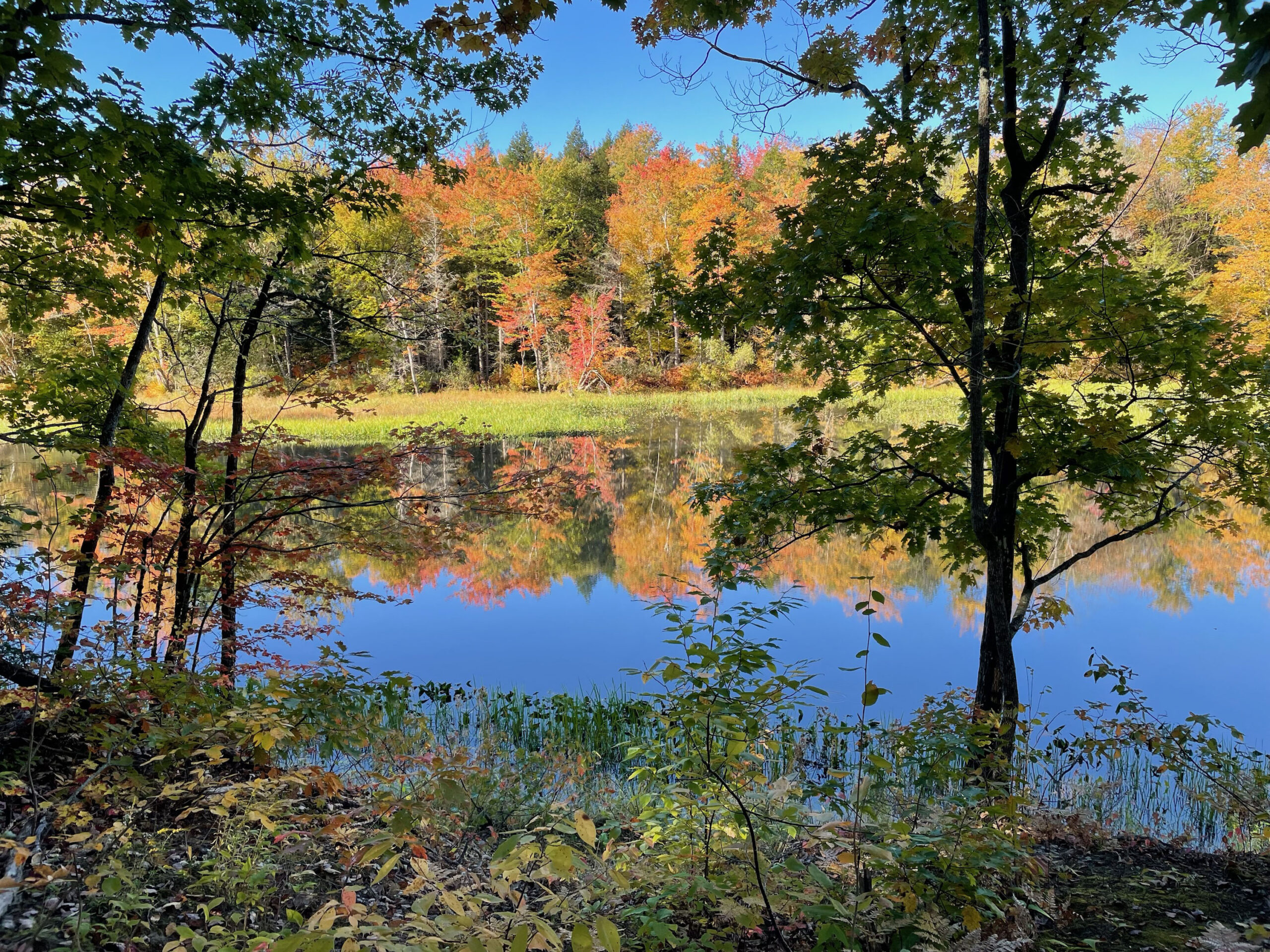
The Messalonskee Stream Trail goes up, down and around, crossing five footbridges, through hemlock and pine forests, with stunning views of Messalonskee Stream below. From the south, follow the trail around a peninsula, up to the power line and along it until you reach a road down to the dam. From there, follow the penstock carrying water to the Rice Rips hydropower pond north of Rice Rips Road.
Getting There
From Waterville, follow Kennedy Memorial Drive to just before the Messalonskee Stream bridge, turn right at the TRAIL sign to a small fenced-in parking area.
From Oakland, cross the stream and turn left at the TRAIL sign to a small fenced-in parking area.
From Colby College, drive down the Rice Rips Road and turn right at the bottom to a small parking area. Cross the road and follow the leaking penstock.
Special Thanks to: Town of Oakland, FPL, Synergics Energy Services, Maine Recreational Trail Program and Maine Outdoor Heritage Fund. The trail was constructed by the Maine Conservation Corps.
Details
Trail Length:
6 miles
Trail Type:
Out & back
Difficulty:
Moderate
Parking:
Dirt
Features:
Dog friendly Kid friendly
Views:
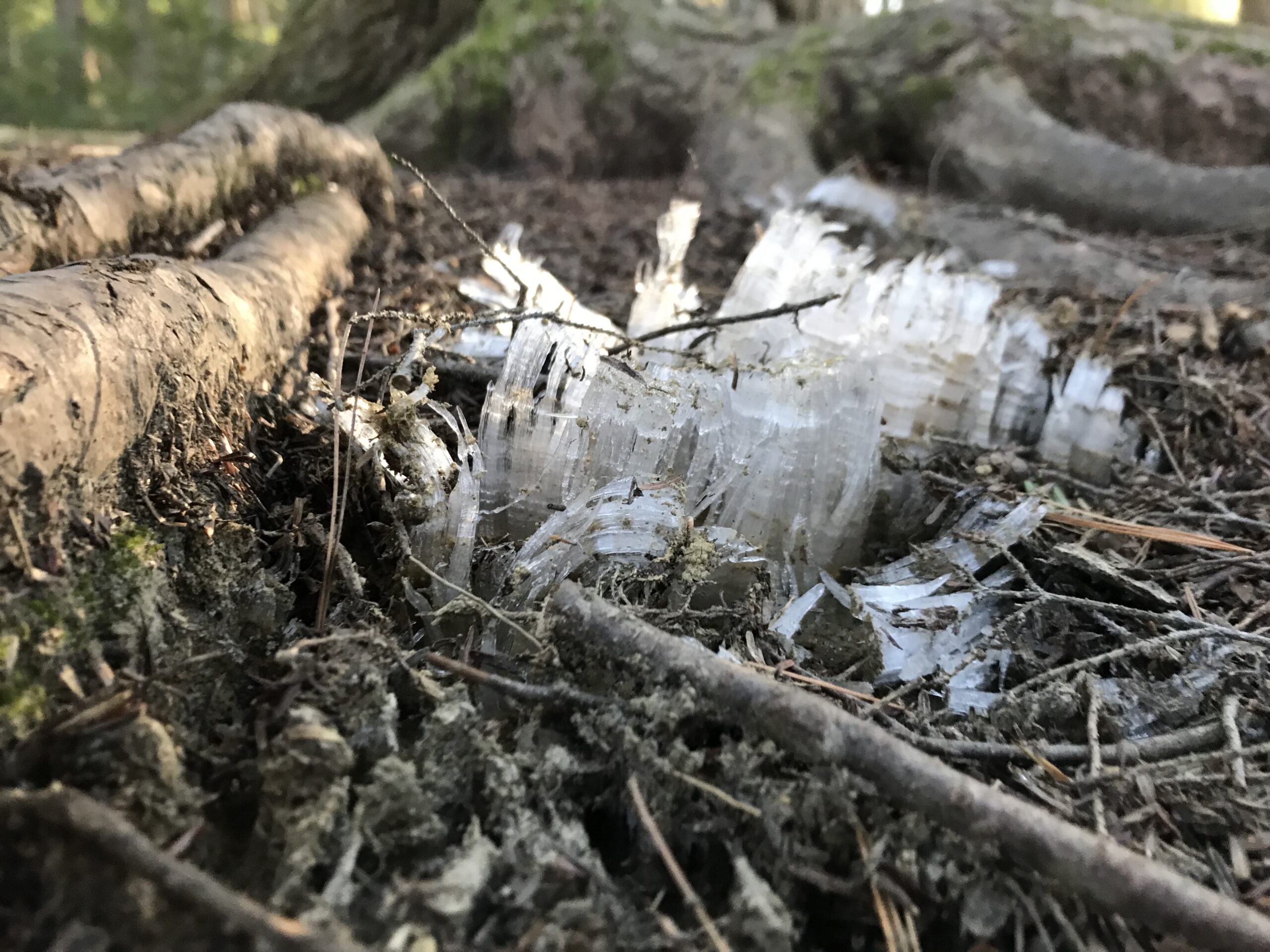
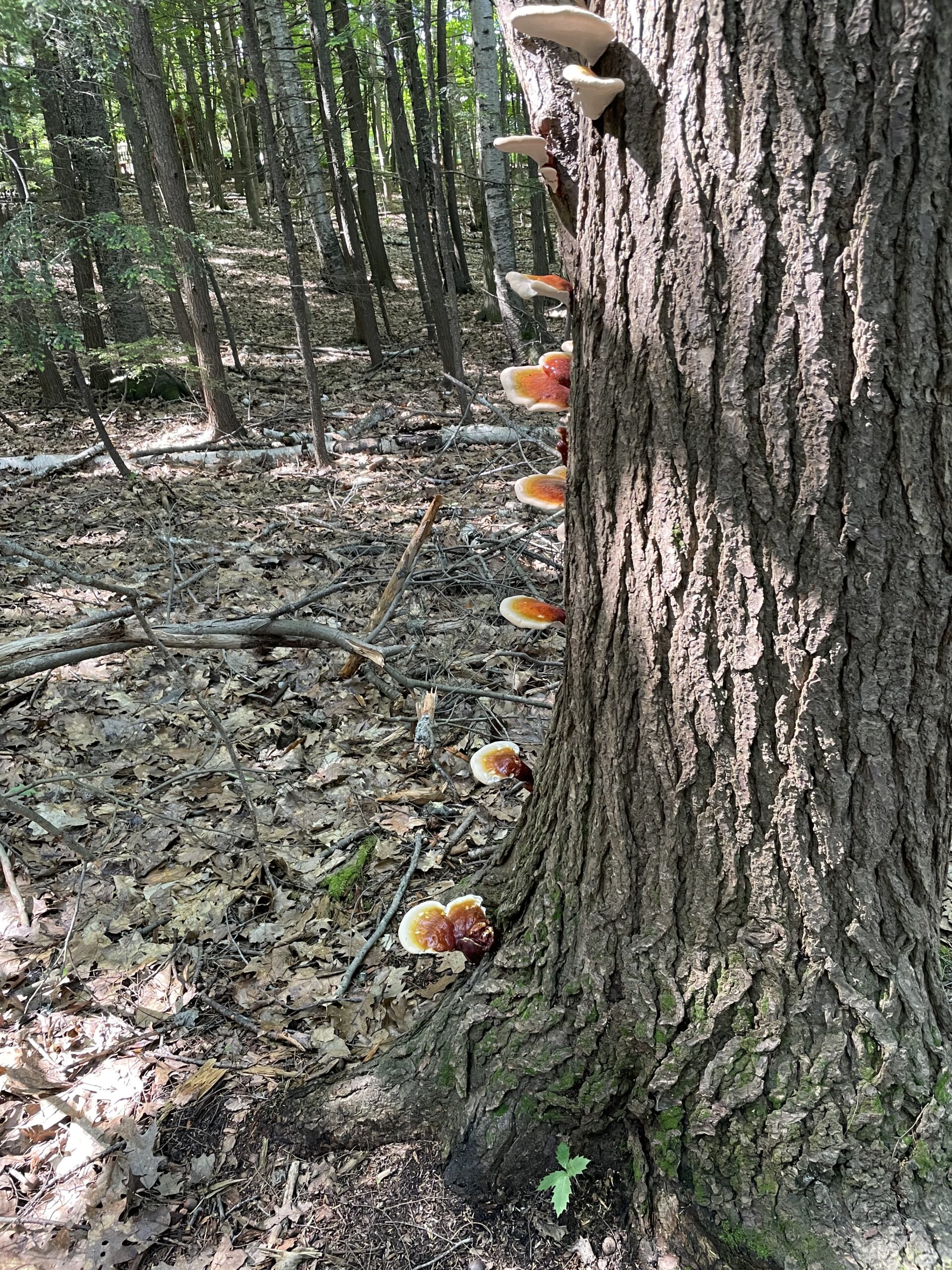
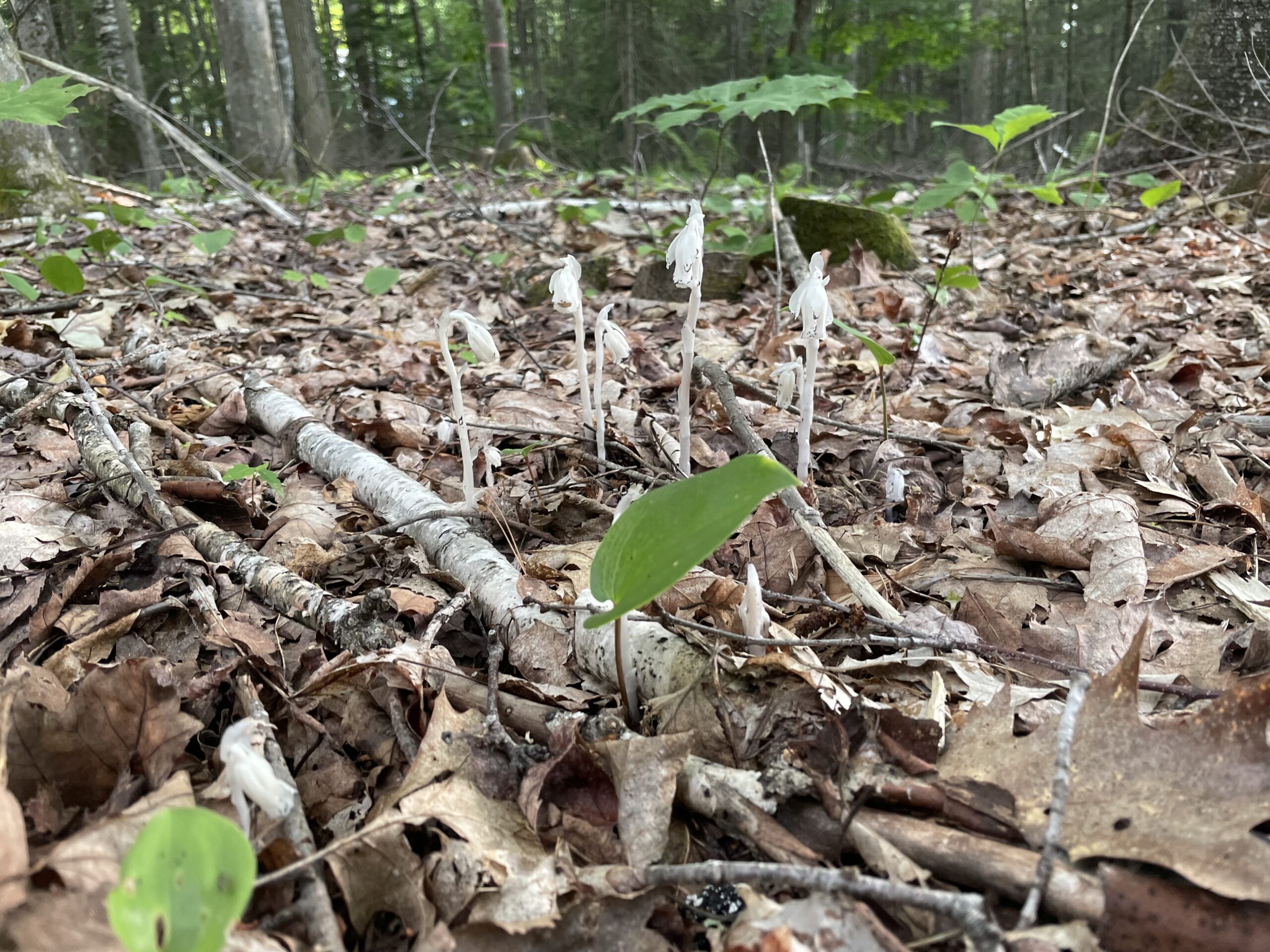
Waterfall Pond Dam River Wooded Historic site Wildflowers Wildlife