
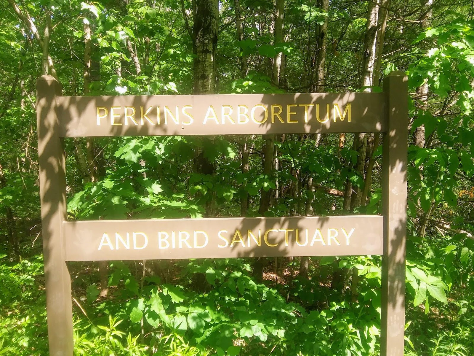
Site 3 Perkins Arboretum Trail (Colby College Trails) :
Greetings trail users!
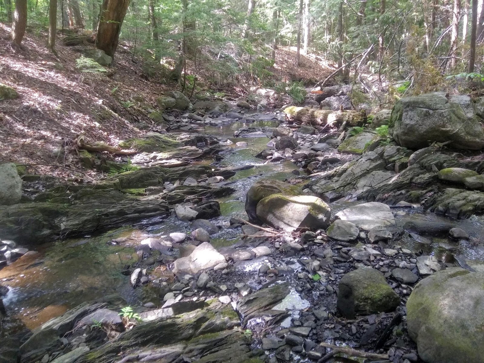
Are you curious about What’s Under Your Feet at the Perkins Arboretum? Near the Perkins Stream , you will have a rare opportunity to get a glimpse of Maine’s geologic history.
The entrance to the arboretum is located at the bottom of the field across from the Colby College President’s house on Mayflower Hill Drive. Follow the Yellow Trail which passes through transitional forest, mature forest, and along the Perkins Stream where you will explore interesting geological features!

At Perkins Stream, you will see how geological forces have shaped the topography.
Weathering and Erosion Reveal Underlying Bedrock and Glacial Deposits
Water moving through Perkin’s Stream reveals the underlying geology. Without the stream, the rock that you see revealed in the stream bed would be covered by soil and would look similar to the forest floor of the Arboretum.
Stephen Higgs, Colby College Class of 1998 prepared a great Field Guide to the Perkins Arboretum. It remains a useful guide for the flora and fauna as well as a primer for forces of geology that shaped this site.
Excerpted are some of his descriptions:
In many ways, streams are the most dynamic elements of a community. The Perkins Stream is gradually cutting away at its surroundings, and carving out its bed deeper with time. Expanding and shrinking its bank with the fluctuation of seasons and rainfall, the direction of the water changes due to erosion and deposition …. which break down rock and transport it.
He describes in broad outlines the way the rocks you see in the Perkins Stream bed formed,
Over millennia, ….these sedimentary rocks…were compressed and heated and given a horizontal orientation ….. Eventually, under great pressure, the bedrock was forced to fold, or bend, pushing them into their current vertical orientation.
A spur off the main trail takes you to the stream-side, where you can see vertical bands of bedrock (Waterville Formation) beneath the large boulders left over 12,000 years ago when glacial ice covered Central Maine. The ice moved and scoured much of the surface of the land and deposited surface rock and soil as sediment in places as far out as the Maine coast. The weight of the glaciers was tremendous and pushed the ground below the level it is at today. When the glaciers began to melt, they left large boulders on the coast and inland, including the ones in this stream bed. At the same time that the glaciers melted, marine water rushed in where ice once blocked the passage of the water. The sea deposited large amounts of sediment on what is now inland Maine.
It is amazing to think that southern Maine as far North as Millinocket were below sea level during this time and that today our state still bears the marks of its glacial past in the form of the large boulders that Higgs describes that geologists call glacial erratics.